

Tour Tag 4 - Schlussetappe Abstieg nach Vernagt
- Start an der Hütte Schöne Aussicht (2845m)
- Aufstieg (400 Hm) zur Grawand (3.251 m)
- Gratwanderung zur Grandwand-Spitze
- steiler Abstieg (1.500 Hm) von der Grawand nach Vernagt
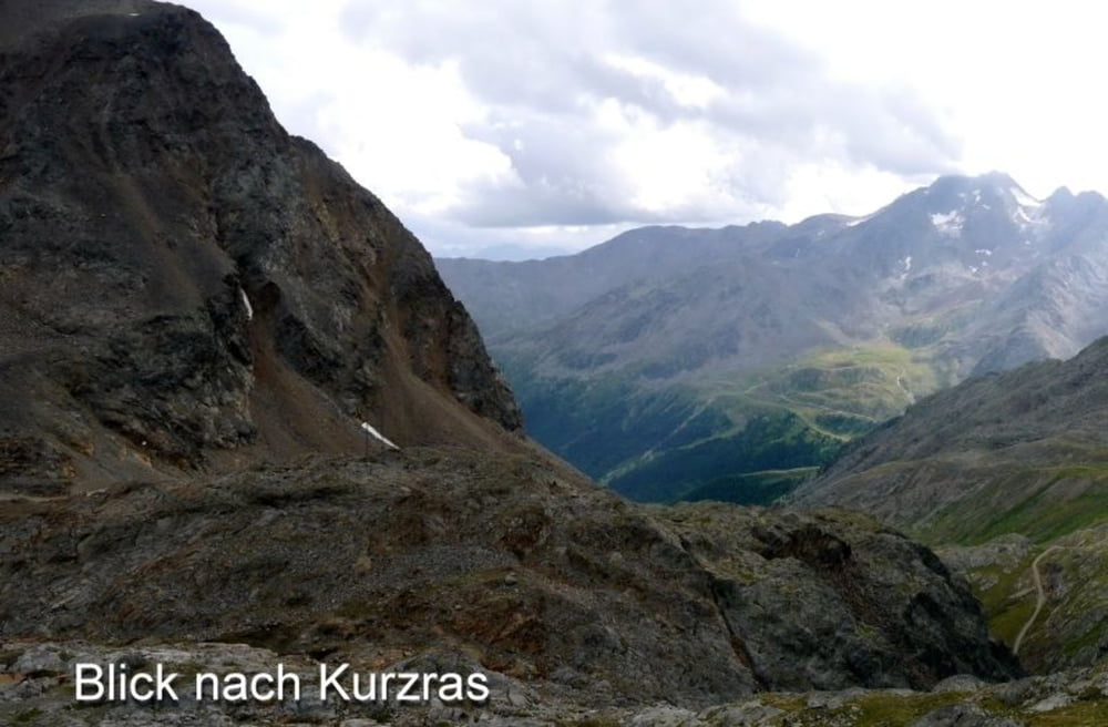
- Abstieg im Finailtal - Archäologische Wanderweg (Weg 8)
- Pause am schönen Finailsee (2.690 m)
- Finailalm (Schäferhütte) auf 2.307 m
- Rast am Finailhof (1.950 m)
- auf Weg 7 geht es vorbei am Raffeinhof zum Tisenhof
- Am Berghang mit Bilck auf den Vernagt Stausee
- letzter kleiner Abstieg nach Vernagt (1695m)
#####
Hüttentour 2018:
4 Tages-Tour mit 3 Hüttenübernachtungen
Tour 1 - Aufstieg: Vernagt zur Similaun Hütte
Tour 2 - Sinilaun Hütte zur Hochjjochhospiz Hütte (Königsetappe)
Tour 3 - Mittlere Guslarspitze
Tour 4 - Hochjochhospiz Hütte zur Schöne Aussicht Hütte
Tour 5 - Abstieg: Schöne Aussicht Hütte nach Vernagt
galéria trás


Mapa trasy a výškový profil
Minimum height 1742 m
Maximum height 3233 m
More about the tour author
|
|
Stummi |
komentáre

GPS trasy
Trackpoints-
GPX / Garmin Map Source (gpx) download
-
TCX / Garmin Training Center® (tcx) download
-
CRS / Garmin Training Center® (crs) download
-
Google Earth (kml) download
-
G7ToWin (g7t) download
-
TTQV (trk) download
-
Overlay (ovl) download
-
Fugawi (txt) download
-
Kompass (DAV) Track (tk) download
-
list trasy (pdf) download
-
Original file of the author (gpx) download
More about the tour author
|
|
Stummi |
Add to my favorites
Remove from my favorites
Edit tags
Open track
My score
Rate