Zunächst führt eine Asphaltstrasse stetig steigend bis Compet.
Auf einer Schotterstrasse und später kurz auf einer Asphaltstrasse geht es bergab.
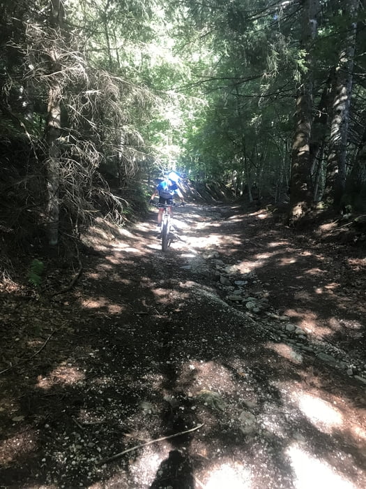
Nach einem kleinen Astieg beginnt der Trail von ca. 1200m bis ca. 550m.
Kleine Stücke würde ich S2/S3 bewerten.
Ansonsten kann man richtig Spass haben ....
Mapa trasy a výškový profil
Minimum height 450 m
Maximum height 1378 m
komentáre

GPS trasy
Trackpoints-
GPX / Garmin Map Source (gpx) download
-
TCX / Garmin Training Center® (tcx) download
-
CRS / Garmin Training Center® (crs) download
-
Google Earth (kml) download
-
G7ToWin (g7t) download
-
TTQV (trk) download
-
Overlay (ovl) download
-
Fugawi (txt) download
-
Kompass (DAV) Track (tk) download
-
list trasy (pdf) download
-
Original file of the author (gpx) download
Add to my favorites
Remove from my favorites
Edit tags
Open track
My score
Rate


