

Die Insel ist nicht sehr groß, sodass wir sie umrundet, und auf den höchsten Punkt der Insel 460m hinaufgefahren sind, zur "Santurio Madonna Della Ceriola. Die Beschilderung habe ich als etwas verwirrend empfunden. Bei Spino geht es rechts steil auf einer Asphaltstraße hinauf. Das letzte Stück zur Kirche ist grob gepflastert und wieder sehr steil.
Bei der Abfahrt geht ein Pfad rechts von der Straße weg. Er ist erst später beschildert mit der Nr. 4. Bei einer Abzweigung Richtung "Loc. Siviano 4" weiter fahren. Dieser mit Steinen grob gepflasterte Weg ist in der Kompasskarte Nr. 106 als Wanderweg eingezeichnet.
Für uns war es ein Highlight, weil wir bis an die Nordseite der Insel nicht mehr auf der Straße fahren mussten. Danach geht es dem Meer entlang zum Ort "Peschiera" wo die Fähre anlegt.
galéria trás


Mapa trasy a výškový profil
Minimum height 187 m
Maximum height 598 m
More about the tour author
|
|
Astrid_Steindl04 |
komentáre

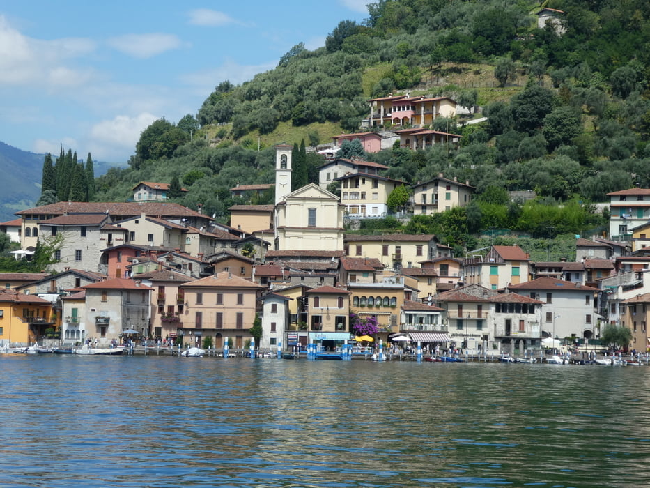
Vom Ort Iseo und Sulzano geht mehrmals im Tag eine Fähre auf die Insel Monte Isola am Iseosee. Das Bike kann ohne Probleme mitgenommen werden, wobei einige Euro hinzu kommen.
GPS trasy
Trackpoints-
GPX / Garmin Map Source (gpx) download
-
TCX / Garmin Training Center® (tcx) download
-
CRS / Garmin Training Center® (crs) download
-
Google Earth (kml) download
-
G7ToWin (g7t) download
-
TTQV (trk) download
-
Overlay (ovl) download
-
Fugawi (txt) download
-
Kompass (DAV) Track (tk) download
-
list trasy (pdf) download
-
Original file of the author (gpx) download
More about the tour author
|
|
Astrid_Steindl04 |
Add to my favorites
Remove from my favorites
Edit tags
Open track
My score
Rate