

Wir wohnten in dem empfehlenswerten kleinen Hotel Chambres d'hôtes Le Domaine in Hirel. Ideal für Radtouren nach Mont Saint Michel, Saint Malo und Dol de Bretagne.
Die Strecke verläuft nahezu eben. Nach ca 10 km kommt man an einer Kapelle am Meer vorbei. Hier würde ich nicht mehr den Fußweg am Meer entlangfahren (Sehr uneben und Dornenbüsche am Wegrand!) sondern den parallel verlaufenden (beschilderten?) Radweg nehmen. Sonst könnt ihr meine vom Radweg abweichende Route nehmen oder nicht.
Tipp: Wer Austern und Muscheln mag, die Buden am Meer sind zu empfehlen.
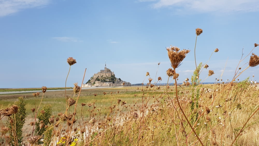
Le Mont Saint Michel ist unbeschreiblich!
Das Rad muss aber bei der Schleuße abgestellt werden. Wegen des Fotomotivs lohnt es sich zu Fuß zu gehen. (Alternative: Shuttlebus)
galéria trás

Mapa trasy a výškový profil
Minimum height 1 m
Maximum height 9 m
More about the tour author

|
gabo16 |
komentáre

GPS trasy
Trackpoints-
GPX / Garmin Map Source (gpx) download
-
TCX / Garmin Training Center® (tcx) download
-
CRS / Garmin Training Center® (crs) download
-
Google Earth (kml) download
-
G7ToWin (g7t) download
-
TTQV (trk) download
-
Overlay (ovl) download
-
Fugawi (txt) download
-
Kompass (DAV) Track (tk) download
-
list trasy (pdf) download
-
Original file of the author (gpx) download
More about the tour author
|
|
gabo16 |
Add to my favorites
Remove from my favorites
Edit tags
Open track
My score
Rate