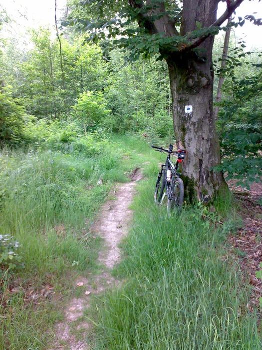
Super Tour, hoher Anteil an Singletrails.
Ist schon flowig zu fahren.
Sollte aber trocken sein, sonst wird rutschivh und matschig.
Wäre für weiter Tips mit Singeltrails in der Gegend dankbar.
Mapa trasy a výškový profil
Minimum height 292 m
Maximum height 489 m
komentáre
GPS trasy
Trackpoints-
GPX / Garmin Map Source (gpx) download
-
TCX / Garmin Training Center® (tcx) download
-
CRS / Garmin Training Center® (crs) download
-
Google Earth (kml) download
-
G7ToWin (g7t) download
-
TTQV (trk) download
-
Overlay (ovl) download
-
Fugawi (txt) download
-
Kompass (DAV) Track (tk) download
-
list trasy (pdf) download
-
Original file of the author (gpx) download
Add to my favorites
Remove from my favorites
Edit tags
Open track
My score
Rate


Tolle Tour