Login

Zabudli ste prihlasovacia meno

Cookies have to be accepted!
Your browser's cookie functionality is disabled. Please enable this functionality.

Not a member yet?

Register now
Login

Available for registred users only

Log in to use this feature.

Zabudli ste prihlasovacia meno

Cookies have to be accepted!
Your browser's cookie functionality is disabled. Please enable this functionality.

Not a member yet?

Register now
Filter
Kategórie
Advanced filters
  • Dĺžka (km)
  • výškomer
Uložiť filter Reset filter

TrackRank

QRCode

Technical data

Dĺžka50,4 km výškomer1220 m Way down1218 m Doba04:00 h:m dátum15.10.2018
ohodnotenia Author Kraj pôžitok z túry kondícia technika

štatistika

249 náhľady ohodnotenia 32 Stiahnutia priemer
Rate
  • list trasy
  • príjazd
  • Stiahnutia
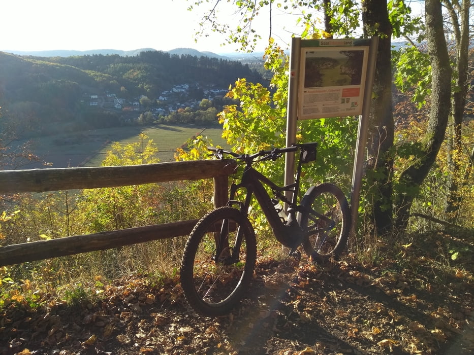
Trailtour über die Premiumwanderwege Panoramapfad und Wege des Wassers.Die Tour sollte gegen den Uhrzeigersinn gefahren werden und ist techn.anspruchsvoll.

Mapa trasy a výškový profil

  • Open Street Map
  • Google
Minimum height 247 m Maximum height 507 m Detailný pohľad

More about the tour author

aggi
Member since 2009

Send private message

komentáre

GPS trasy

Trackpoints
  • GPX / Garmin Map Source (gpx) download
  • TCX / Garmin Training Center® (tcx) download
  • CRS / Garmin Training Center® (crs) download
  • Google Earth (kml) download
  • G7ToWin (g7t) download
  • TTQV (trk) download
  • Overlay (ovl) download
  • Fugawi (txt) download
  • Kompass (DAV) Track (tk) download
  • list trasy (pdf) download
  • Original file of the author (gpx) download

More about the tour author

aggi
Member since 2009

Send private message
Share track
Add to my favorites
Remove from my favorites
Edit tags
My score
Rate
trasa: Trailrunde Theley-Büschfeld
Druh: horský bicykel
Dĺžka: 50,4 km
Evaluated on:
Doba:
Day(s)
Hour(s)
Minute(s)
ohodnotenie: Kraj pôžitok z túry kondícia technika