Login

Zabudli ste prihlasovacia meno

Cookies have to be accepted!
Your browser's cookie functionality is disabled. Please enable this functionality.

Not a member yet?

Register now
Login

Available for registred users only

Log in to use this feature.

Zabudli ste prihlasovacia meno

Cookies have to be accepted!
Your browser's cookie functionality is disabled. Please enable this functionality.

Not a member yet?

Register now
Filter
Kategórie
Advanced filters
  • Dĺžka (km)
  • výškomer
Uložiť filter Reset filter

TrackRank

QRCode

Technical data

Dĺžka13,9 km výškomer373 m Way down353 m Doba00:00 h:m dátum25.11.2018
ohodnotenia Author Kraj pôžitok z túry kondícia technika

štatistika

279 náhľady ohodnotenia 3 Stiahnutia priemer
Rate
  • list trasy
  • príjazd
  • Stiahnutia

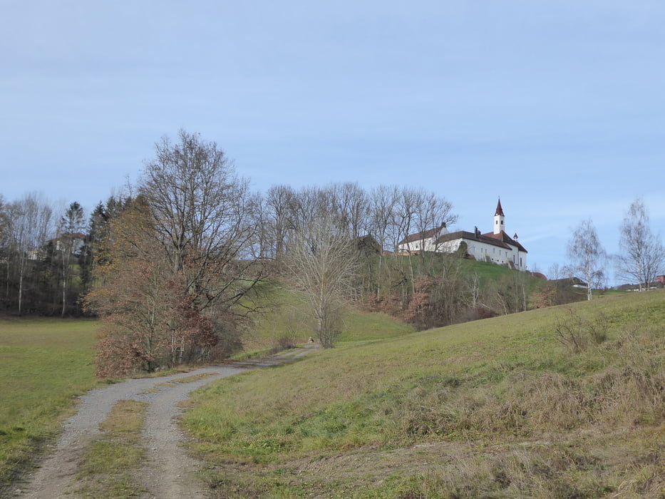
Wanderung über den alten Scheiblhoferberg nach Neundling

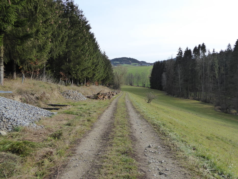
Weiter nach Autengrub und über Götzendorfersteig nach Götzendorf und wieder retour nach Rohrbach Berg.

galéria trás

Mapa trasy a výškový profil

  • Open Street Map
  • Google
Minimum height 508 m Maximum height 651 m Detailný pohľad

More about the tour author

Hoar
Member since 2009

Send private message

komentáre

Start und Ziel Rohrbach Berg in Oberösterreich

GPS trasy

Trackpoints
  • GPX / Garmin Map Source (gpx) download
  • TCX / Garmin Training Center® (tcx) download
  • CRS / Garmin Training Center® (crs) download
  • Google Earth (kml) download
  • G7ToWin (g7t) download
  • TTQV (trk) download
  • Overlay (ovl) download
  • Fugawi (txt) download
  • Kompass (DAV) Track (tk) download
  • list trasy (pdf) download
  • Original file of the author (gpx) download

More about the tour author

Hoar
Member since 2009

Send private message
Share track
Add to my favorites
Remove from my favorites
Edit tags
My score
Rate
trasa: Rohrbach Berg in Oberösterreich Götzendorfer Steig
Druh: trasa
Dĺžka: 13,9 km
Evaluated on:
Doba:
Day(s)
Hour(s)
Minute(s)
ohodnotenie: Kraj pôžitok z túry kondícia technika