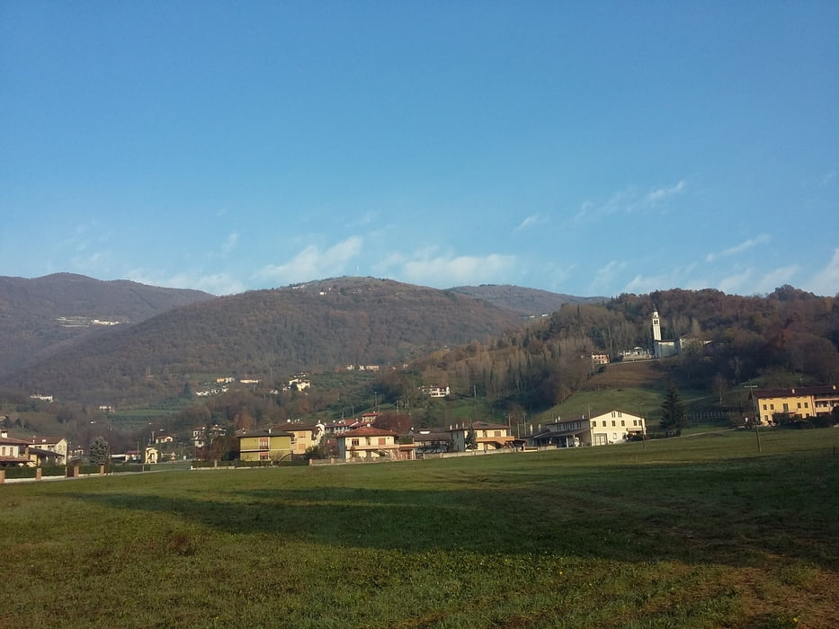
Ottima passeggiata in una delle più belle zone della pedemontana veneta, percorso collinare realizzato in una buona parte su sentieri del sottobosco. Giornata bella ma un terreno abbastanza scivoloso.
Further information at
http://italia.indettaglio.it/ita/veneto/vicenza_marostica_marsan.htmlgaléria trás
Mapa trasy a výškový profil
Minimum height 90 m
Maximum height 249 m
komentáre

GPS trasy
Trackpoints-
GPX / Garmin Map Source (gpx) download
-
TCX / Garmin Training Center® (tcx) download
-
CRS / Garmin Training Center® (crs) download
-
Google Earth (kml) download
-
G7ToWin (g7t) download
-
TTQV (trk) download
-
Overlay (ovl) download
-
Fugawi (txt) download
-
Kompass (DAV) Track (tk) download
-
list trasy (pdf) download
-
Original file of the author (gpx) download
Add to my favorites
Remove from my favorites
Edit tags
Open track
My score
Rate


