Login

Zabudli ste prihlasovacia meno

Cookies have to be accepted!
Your browser's cookie functionality is disabled. Please enable this functionality.

Not a member yet?

Register now
Login

Available for registred users only

Log in to use this feature.

Zabudli ste prihlasovacia meno

Cookies have to be accepted!
Your browser's cookie functionality is disabled. Please enable this functionality.

Not a member yet?

Register now
Filter
Kategórie
Advanced filters
  • Dĺžka (km)
  • výškomer
Uložiť filter Reset filter

TrackRank

QRCode

Technical data

Dĺžka64,0 km výškomer1548 m Way down1548 m Doba09:29 h:m dátum14.07.2018
ohodnotenia Author Kraj pôžitok z túry kondícia technika

štatistika

253 náhľady ohodnotenia 10 Stiahnutia priemer
Rate
  • list trasy
  • príjazd
  • Stiahnutia
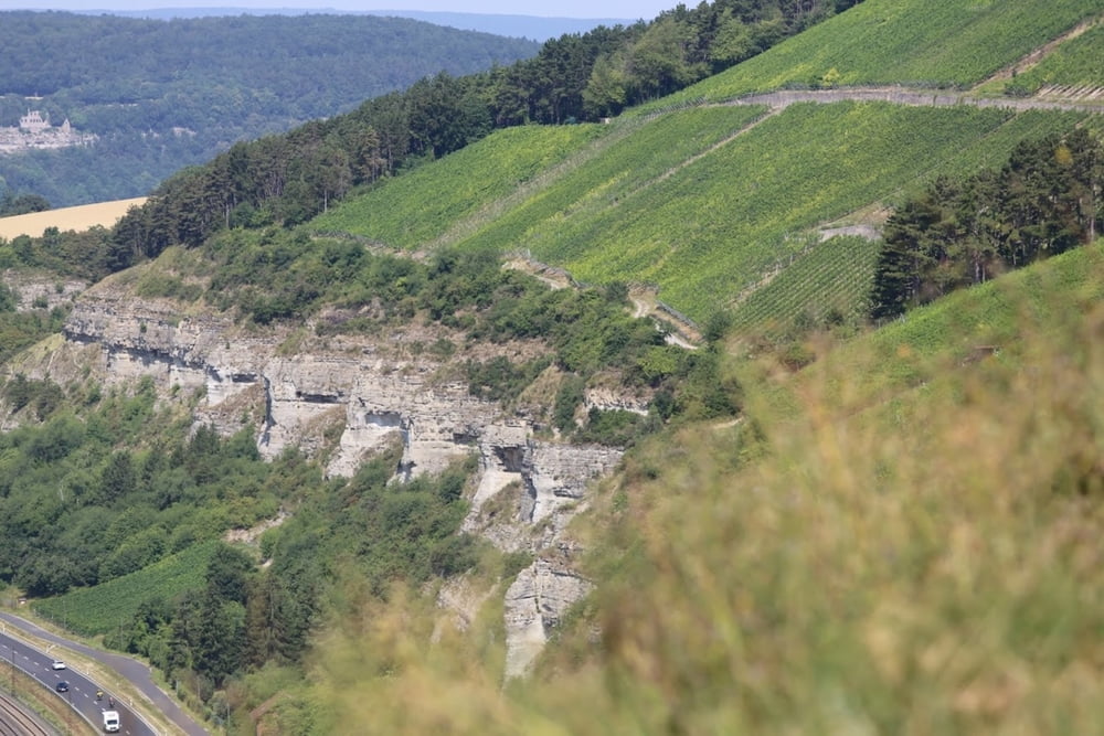
Start in Veitshöcheim, dann geht es auf Waldwegen und Oneway-Trails, hoch über dem Main, Richtung Zellingen fast bis Karlstadt. Im weiten Bogen über Retzstadt, Güntersleben nach Veitshöchheim! => Franken von seiner schönsten Seite!

Further information at

https://www.mtut.de/

galéria trás

Mapa trasy a výškový profil

  • Open Street Map
  • Google
Minimum height 180 m Maximum height 368 m Detailný pohľad

More about the tour author

Perikles
Member since 2018

Send private message

komentáre

www.

GPS trasy

Trackpoints
  • GPX / Garmin Map Source (gpx) download
  • TCX / Garmin Training Center® (tcx) download
  • CRS / Garmin Training Center® (crs) download
  • Google Earth (kml) download
  • G7ToWin (g7t) download
  • TTQV (trk) download
  • Overlay (ovl) download
  • Fugawi (txt) download
  • Kompass (DAV) Track (tk) download
  • list trasy (pdf) download
  • Original file of the author (gpx) download

More about the tour author

Perikles
Member since 2018

Send private message
Share track
Add to my favorites
Remove from my favorites
Edit tags
My score
Rate
trasa: Maintal Ultra Trail
Druh: beh
Dĺžka: 64,0 km
Evaluated on:
Doba:
Day(s)
Hour(s)
Minute(s)
ohodnotenie: Kraj pôžitok z túry kondícia technika