

Giro con qualche km su asfalto,ma molto piacevole.
Circa 18 km di asfalto,8 di sentieri ed il resto sterrate o mulattiere.
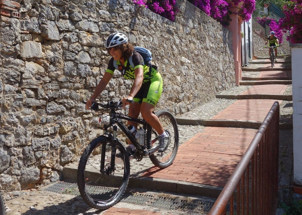
Si entra nei bellissimi borghi di Montemarcello,Tellaro,Lerici,San Terenzo ed Ameglia
La zona è una delle piu' spettacolari per il panorama che offre.
Accessibile in tutte le stagioni.
Difficolta' bassa ad eccezione di alcuni tratti su sentiero in discesa verso Tellaro ed Ameglia
Circa 18 km di asfalto,8 di sentieri ed il resto sterrate o mulattiere.
Si entra nei bellissimi borghi di Montemarcello,Tellaro,Lerici,San Terenzo ed Ameglia
La zona è una delle piu' spettacolari per il panorama che offre.
Accessibile in tutte le stagioni.
Difficolta' bassa ad eccezione di alcuni tratti su sentiero in discesa verso Tellaro ed Ameglia
galéria trás


Mapa trasy a výškový profil
Minimum height 6 m
Maximum height 274 m
More about the tour author
|
|
gaddo |
komentáre

GPS trasy
Trackpoints-
GPX / Garmin Map Source (gpx) download
-
TCX / Garmin Training Center® (tcx) download
-
CRS / Garmin Training Center® (crs) download
-
Google Earth (kml) download
-
G7ToWin (g7t) download
-
TTQV (trk) download
-
Overlay (ovl) download
-
Fugawi (txt) download
-
Kompass (DAV) Track (tk) download
-
list trasy (pdf) download
-
Original file of the author (gpx) download
More about the tour author
|
|
gaddo |
Add to my favorites
Remove from my favorites
Edit tags
Open track
My score
Rate