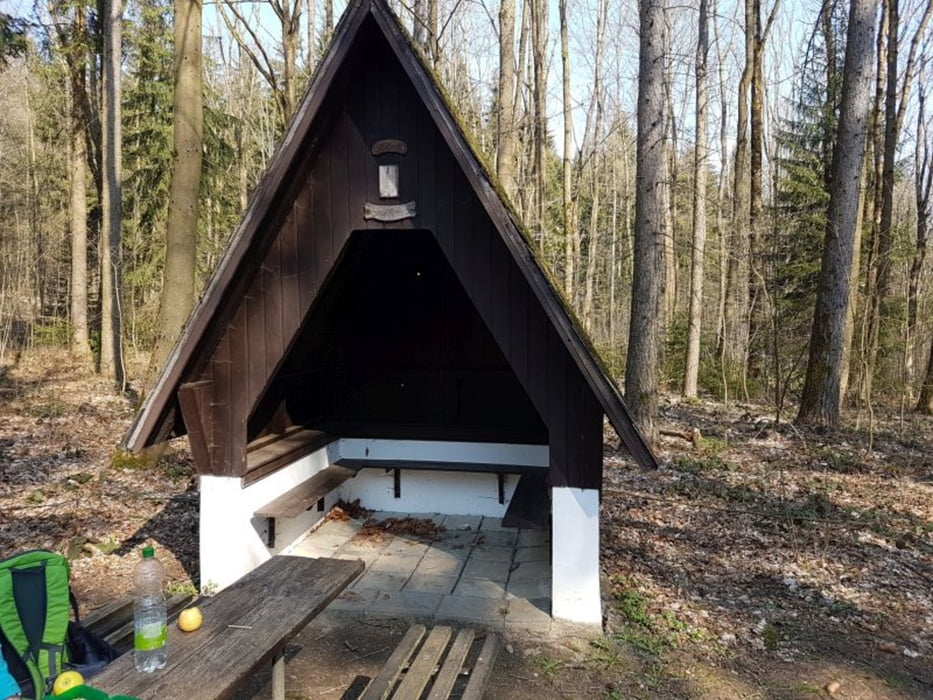
Wanderung Talsperre Lichtenberg
Eine tolle Wanderung bei der Talsperre Lichtenberg mit eine Länge von ca. 10 km.
Welliges Gelände. Sehr gute Ausschilderung.
Wir waren hier als Geocacher unterwegs.
galéria trás
Mapa trasy a výškový profil
Minimum height 490 m
Maximum height 597 m
komentáre

GPS trasy
Trackpoints-
GPX / Garmin Map Source (gpx) download
-
TCX / Garmin Training Center® (tcx) download
-
CRS / Garmin Training Center® (crs) download
-
Google Earth (kml) download
-
G7ToWin (g7t) download
-
TTQV (trk) download
-
Overlay (ovl) download
-
Fugawi (txt) download
-
Kompass (DAV) Track (tk) download
-
list trasy (pdf) download
-
Original file of the author (gpx) download
Add to my favorites
Remove from my favorites
Edit tags
Open track
My score
Rate


