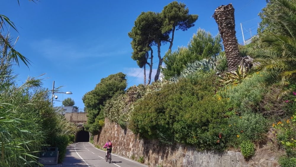
Auf einer Teilstrecke einer Eisenbahntrasse entlang der Ligurischen Küste wurde ein Fahrradweg angelegt. Auf der Strecke befinden sich mehrere, teilweise sehr lange aber gut beleuchtete Tunnel. Eine ansonsten aussichtsreiche Radtour mit vielen Kaffeestopmöglichkeiten. Sehr empfehlenswert. #noebike
galéria trás
Mapa trasy a výškový profil
Minimum height -119 m
Maximum height -102 m
komentáre

GPS trasy
Trackpoints-
GPX / Garmin Map Source (gpx) download
-
TCX / Garmin Training Center® (tcx) download
-
CRS / Garmin Training Center® (crs) download
-
Google Earth (kml) download
-
G7ToWin (g7t) download
-
TTQV (trk) download
-
Overlay (ovl) download
-
Fugawi (txt) download
-
Kompass (DAV) Track (tk) download
-
list trasy (pdf) download
-
Original file of the author (gpx) download
Add to my favorites
Remove from my favorites
Edit tags
Open track
My score
Rate


