Login

Zabudli ste prihlasovacia meno

Cookies have to be accepted!
Your browser's cookie functionality is disabled. Please enable this functionality.

Not a member yet?

Register now
Login

Available for registred users only

Log in to use this feature.

Zabudli ste prihlasovacia meno

Cookies have to be accepted!
Your browser's cookie functionality is disabled. Please enable this functionality.

Not a member yet?

Register now
Filter
Kategórie
Advanced filters
  • Dĺžka (km)
  • výškomer
Uložiť filter Reset filter

TrackRank

QRCode

Technical data

Dĺžka46,1 km výškomer799 m Way down784 m Doba00:00 h:m dátum23.05.2019
ohodnotenia Author Kraj pôžitok z túry kondícia technika

štatistika

452 náhľady ohodnotenia 7 Stiahnutia priemer
Rate
  • list trasy
  • príjazd
  • Stiahnutia
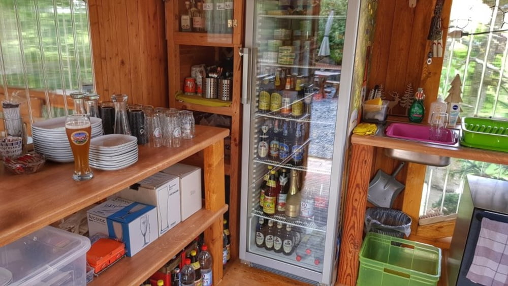
Den Weg zur Röders Hütte habe ich heute mal mit Komoot geplant. Man, der Weg war ganz schön heftig, was die Anstiege betrifft. Ansonsten aber eine schöne Wegführung. Bei der Hütte dann ein kaltes Hefe getrunken und über Reichelsheim und dem Gersprenzradweg wieder heim. #noebike

galéria trás

Mapa trasy a výškový profil

  • Open Street Map
  • Google
Minimum height 157 m Maximum height 382 m Detailný pohľad

More about the tour author

mh021255
Member since 2009

Send private message

komentáre

GPS trasy

Trackpoints
  • GPX / Garmin Map Source (gpx) download
  • TCX / Garmin Training Center® (tcx) download
  • CRS / Garmin Training Center® (crs) download
  • Google Earth (kml) download
  • G7ToWin (g7t) download
  • TTQV (trk) download
  • Overlay (ovl) download
  • Fugawi (txt) download
  • Kompass (DAV) Track (tk) download
  • list trasy (pdf) download
  • Original file of the author (gpx) download

More about the tour author

mh021255
Member since 2009

Send private message
Share track
Add to my favorites
Remove from my favorites
Edit tags
My score
Rate
trasa: Röders Hütte
Druh: horský bicykel
Dĺžka: 46,1 km
Evaluated on:
Doba:
Day(s)
Hour(s)
Minute(s)
ohodnotenie: Kraj pôžitok z túry kondícia technika