

It is a variated tour through green farmland.After Ghallouvas the terrain rices towards Pollirinnia.It could be a good idea to see the ruins at Polirinnia a nother day,as the walk is long enough as it is.
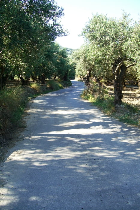
You find the entrance to the gorge by descending the tarmac road from Polirinnia.
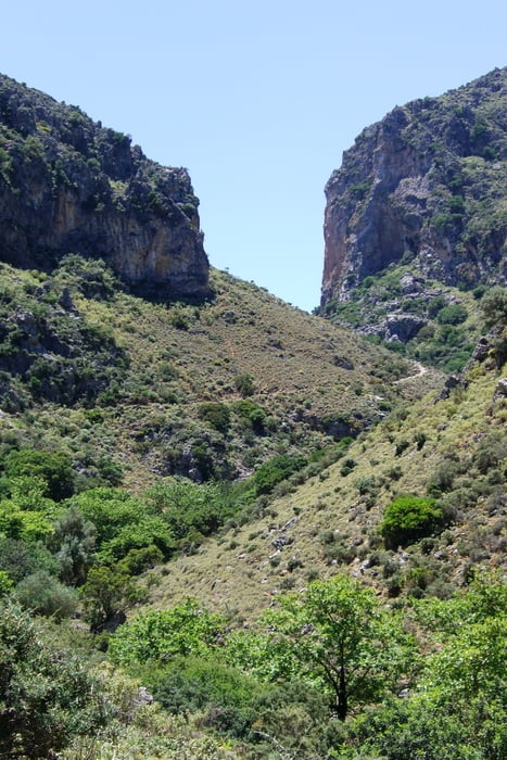
The Sirikari Gorge is very beatifull and not that hard to walk.
If you want to continue to Kambos-a very nice walk to a very different landscape,there is a nice accomodation in Sirikari owned by Spiros. Phone 0030 6945622581
He is very helpfull and can tell you a lot about the area.He can pick you up in the gorge and help you to the trail the next day.
galéria trás


Mapa trasy a výškový profil
Minimum height 8 m
Maximum height 364 m
More about the tour author

|
medoc |
komentáre

Leave Kastelli on a road apx. 500 m E of the paved road to Polirinnia.
The road is easy to find as there is a bank with a Yellov+blue facade.The first 6 km ist straight S to Ghallouvas - a very smal hamlet.Follow the first and only road to the left and follow the blu+yellow marking.
You find the entrance to the gorge by descending the tarmac road from Polirinnia
GPS trasy
Trackpoints-
GPX / Garmin Map Source (gpx) download
-
TCX / Garmin Training Center® (tcx) download
-
CRS / Garmin Training Center® (crs) download
-
Google Earth (kml) download
-
G7ToWin (g7t) download
-
TTQV (trk) download
-
Overlay (ovl) download
-
Fugawi (txt) download
-
Kompass (DAV) Track (tk) download
-
list trasy (pdf) download
-
Original file of the author (gpx) download
More about the tour author
|
|
medoc |
Add to my favorites
Remove from my favorites
Edit tags
Open track
My score
Rate