


Eine wunderschöne Tour, technisch nicht schwer, aber lang. Immer leicht abfallend, das Gefälle etwa wie bei einer Bahnstrecke.
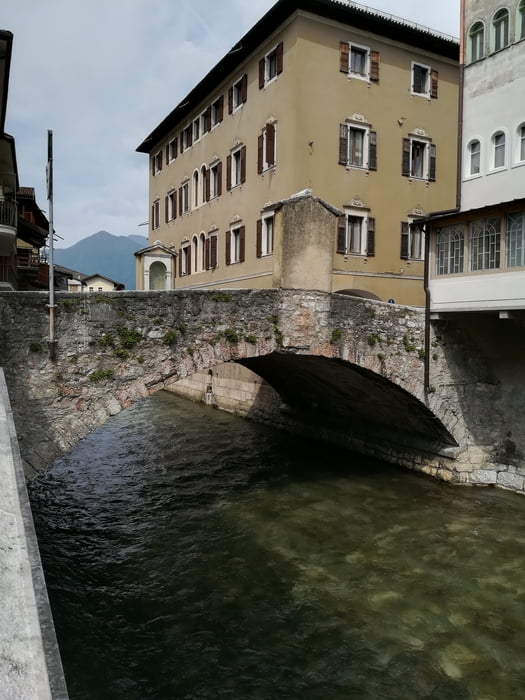
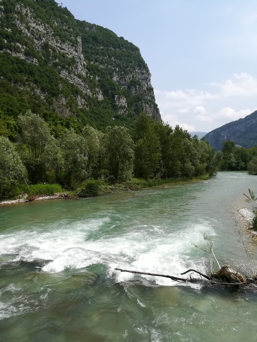
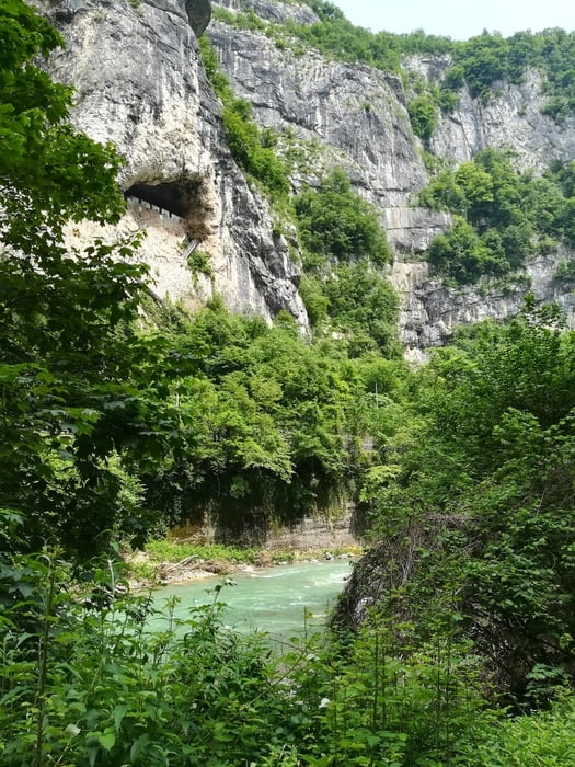
Wir begannen in Levico Therme am Lago die Levico, die erste Kaffeepause gibt es in Borgo (Burg), Mittagspause in Tezze. Jetzt wird das Tal richtig eng, ein Teil der Strecke ist wegen eines Felssturzes geperrt, ein paar km muß man auf der Landesstrasse fahren. Nach Solagna hat man das Tal verlassen, die Hauptstadt Bassano di Grappa liegt vor uns und auch unser Hotel.
galéria trás

Mapa trasy a výškový profil
Minimum height 121 m
Maximum height 463 m
More about the tour author
|
|
walderich |
komentáre

GPS trasy
Trackpoints-
GPX / Garmin Map Source (gpx) download
-
TCX / Garmin Training Center® (tcx) download
-
CRS / Garmin Training Center® (crs) download
-
Google Earth (kml) download
-
G7ToWin (g7t) download
-
TTQV (trk) download
-
Overlay (ovl) download
-
Fugawi (txt) download
-
Kompass (DAV) Track (tk) download
-
list trasy (pdf) download
-
Original file of the author (gpx) download
More about the tour author
|
|
walderich |
Add to my favorites
Remove from my favorites
Edit tags
Open track
My score
Rate