Login

Zabudli ste prihlasovacia meno

Cookies have to be accepted!
Your browser's cookie functionality is disabled. Please enable this functionality.

Not a member yet?

Register now
Login

Available for registred users only

Log in to use this feature.

Zabudli ste prihlasovacia meno

Cookies have to be accepted!
Your browser's cookie functionality is disabled. Please enable this functionality.

Not a member yet?

Register now
Filter
Kategórie
Advanced filters
  • Dĺžka (km)
  • výškomer
Uložiť filter Reset filter

TrackRank

QRCode

Technical data

Dĺžka12,7 km výškomer422 m Way down424 m Doba02:25 h:m dátum23.06.2019
ohodnotenia Author Kraj pôžitok z túry kondícia technika

štatistika

140 náhľady ohodnotenia 2 Stiahnutia priemer
Rate
  • list trasy
  • príjazd
  • Stiahnutia
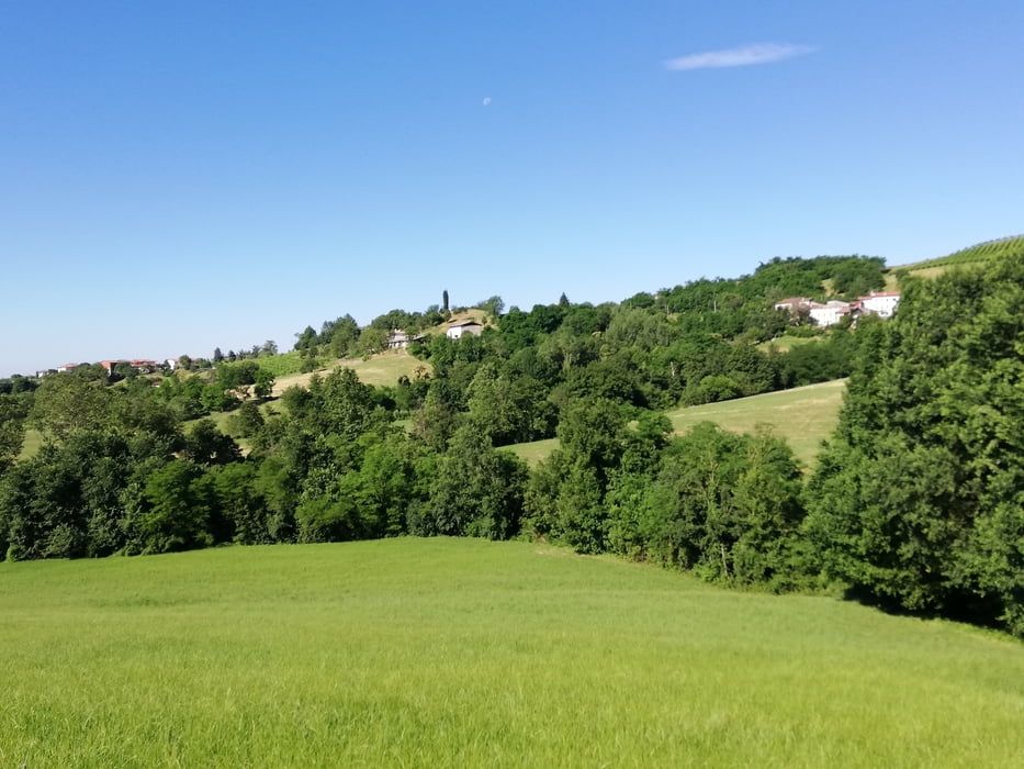
Ottima e impegnativa marcia nell'alto vicentino, giornata estiva con percorso quasi tutto ombreggiato e sentieri sterrati.

Further information at

http://www.comune.faravicentino.vi.it/web/faravicentino

galéria trás

Mapa trasy a výškový profil

  • Open Street Map
  • Google
Minimum height 134 m Maximum height 267 m Detailný pohľad

More about the tour author

agosflavio
Member since 2013

Send private message

komentáre

GPS trasy

Trackpoints
  • GPX / Garmin Map Source (gpx) download
  • TCX / Garmin Training Center® (tcx) download
  • CRS / Garmin Training Center® (crs) download
  • Google Earth (kml) download
  • G7ToWin (g7t) download
  • TTQV (trk) download
  • Overlay (ovl) download
  • Fugawi (txt) download
  • Kompass (DAV) Track (tk) download
  • list trasy (pdf) download
  • Original file of the author (gpx) download

More about the tour author

agosflavio
Member since 2013

Send private message
Share track
Add to my favorites
Remove from my favorites
Edit tags
My score
Rate
trasa: Passeggiata tra sentieri e valli di Fara Vicentino (VI) 2019
Druh: horská trasa
Dĺžka: 12,7 km
Evaluated on:
Doba:
Day(s)
Hour(s)
Minute(s)
ohodnotenie: Kraj pôžitok z túry kondícia technika