


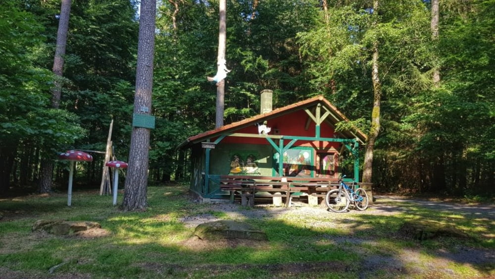
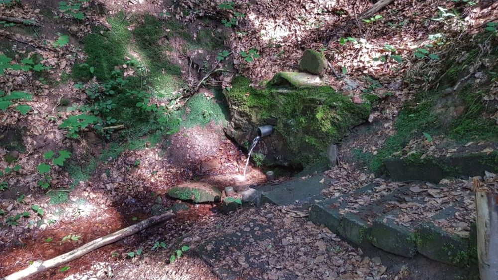
Heute muß ich wieder beim Rosselborn und der Sausteige vorbeischauen. Der Rosselborn gibt Wasser wie immer. Die Sausteige ist mal wieder trocken. Das kommt erst in den letzten Jahren vor, daß die Sausteige kein Wasser gibt. Den Rosselborn habe ich noch nie trocken gesehen. Dann hinauf zum Hexenhäuschen und weiter zum Rödelshäuschen. Leider beide nicht bewirtschaftet. So etwas fehlt hier im Odenwald. Da sind Spessart und Pfälzerwald wesentlich besser organisiert. Nun über die Frankfurter Straße unspektakulär nach Hause. #noebike
galéria trás


Mapa trasy a výškový profil
Minimum height 193 m
Maximum height 370 m
More about the tour author
|
|
mh021255 |
komentáre

GPS trasy
Trackpoints-
GPX / Garmin Map Source (gpx) download
-
TCX / Garmin Training Center® (tcx) download
-
CRS / Garmin Training Center® (crs) download
-
Google Earth (kml) download
-
G7ToWin (g7t) download
-
TTQV (trk) download
-
Overlay (ovl) download
-
Fugawi (txt) download
-
Kompass (DAV) Track (tk) download
-
list trasy (pdf) download
-
Original file of the author (gpx) download
More about the tour author
|
|
mh021255 |
Add to my favorites
Remove from my favorites
Edit tags
Open track
My score
Rate