Login

Zabudli ste prihlasovacia meno

Cookies have to be accepted!
Your browser's cookie functionality is disabled. Please enable this functionality.

Not a member yet?

Register now
Login

Available for registred users only

Log in to use this feature.

Zabudli ste prihlasovacia meno

Cookies have to be accepted!
Your browser's cookie functionality is disabled. Please enable this functionality.

Not a member yet?

Register now
Filter
Kategórie
Advanced filters
  • Dĺžka (km)
  • výškomer
Uložiť filter Reset filter

TrackRank

QRCode

Technical data

Dĺžka9,3 km výškomer696 m Way down702 m Doba05:00 h:m dátum30.06.2019
ohodnotenia Author Kraj pôžitok z túry kondícia technika

štatistika

190 náhľady ohodnotenia 12 Stiahnutia priemer
Rate
  • list trasy
  • príjazd
  • Stiahnutia
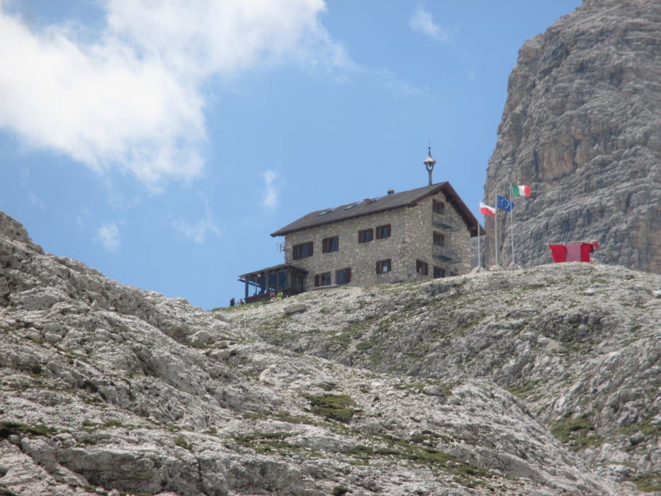
Stupenda escursione sulle montagne più belle del mondo, non molto affatticoso il percorso. Buona giornata estiva.

Further information at

https://www.saliinvetta.com/trekking/italia/trentino-alto-adige/rifugio-kostner/189-lago-boe-e-rifugio-kostner-bz

galéria trás

Mapa trasy a výškový profil

  • Open Street Map
  • Google
Minimum height 1845 m Maximum height 2561 m Detailný pohľad

More about the tour author

agosflavio
Member since 2013

Send private message

komentáre

GPS trasy

Trackpoints
  • GPX / Garmin Map Source (gpx) download
  • TCX / Garmin Training Center® (tcx) download
  • CRS / Garmin Training Center® (crs) download
  • Google Earth (kml) download
  • G7ToWin (g7t) download
  • TTQV (trk) download
  • Overlay (ovl) download
  • Fugawi (txt) download
  • Kompass (DAV) Track (tk) download
  • list trasy (pdf) download
  • Original file of the author (gpx) download

More about the tour author

agosflavio
Member since 2013

Send private message
Share track
Add to my favorites
Remove from my favorites
Edit tags
My score
Rate
trasa: Escursione al Rifugio Kostner-Gruppo del Sella-
Druh: trasa
Dĺžka: 9,3 km
Evaluated on:
Doba:
Day(s)
Hour(s)
Minute(s)
ohodnotenie: Kraj pôžitok z túry kondícia technika