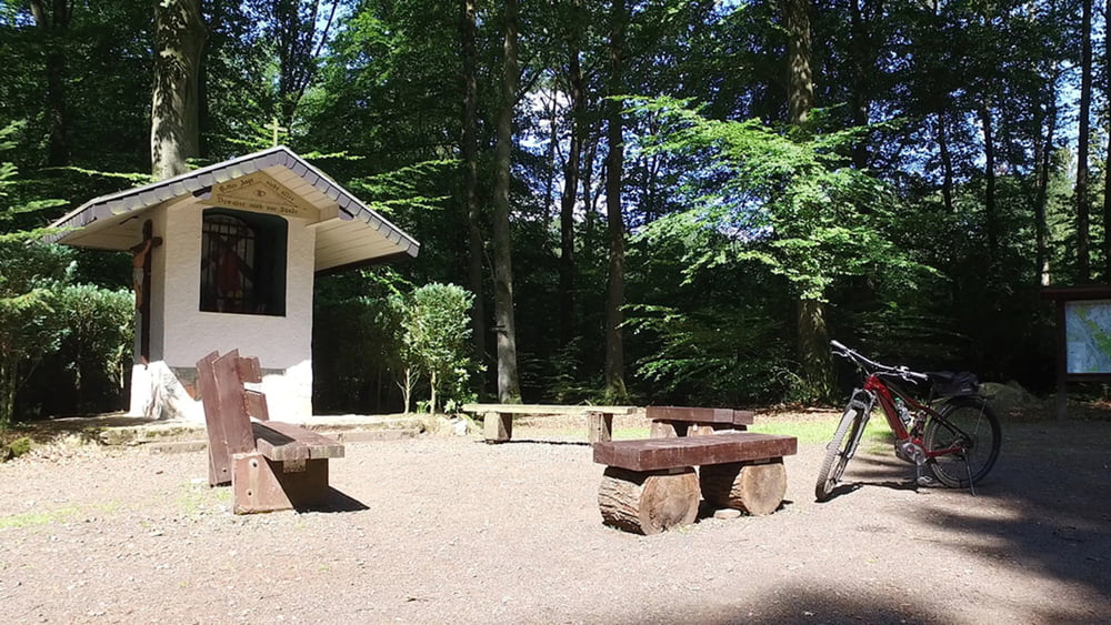
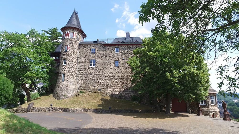
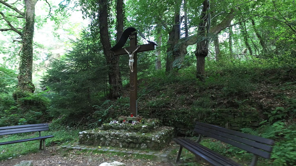
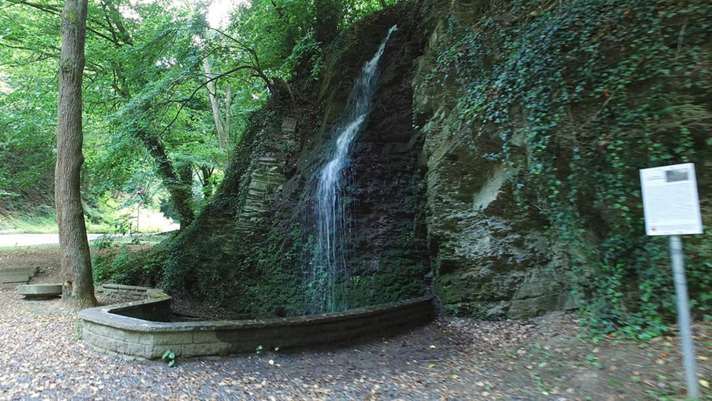
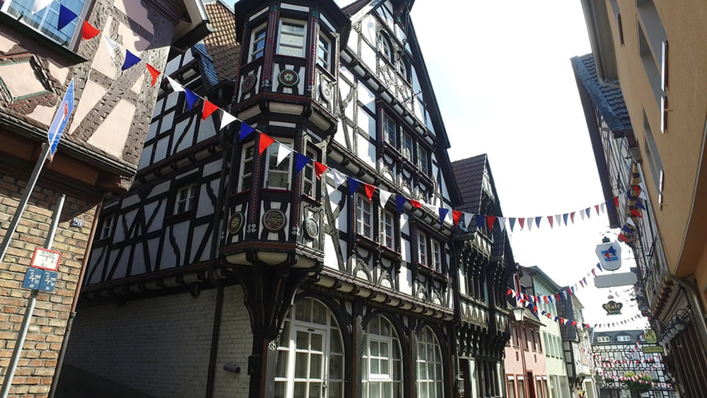
Die ersten Kilometer sind noch sehr waldreich. Danach geht man abwechselnd über Freiflächen und durch Wald. Highlights dieser Etappe sind sicherlich die Aussichten vom Stux, von der Erpeler Ley und von Burg Ockenfels, die allerdings in Privat Besitz ist und nicht Besichtig werden kann.
galéria trás
Mapa trasy a výškový profil
Minimum height 67 m
Maximum height 311 m
komentáre

GPS trasy
Trackpoints-
GPX / Garmin Map Source (gpx) download
-
TCX / Garmin Training Center® (tcx) download
-
CRS / Garmin Training Center® (crs) download
-
Google Earth (kml) download
-
G7ToWin (g7t) download
-
TTQV (trk) download
-
Overlay (ovl) download
-
Fugawi (txt) download
-
Kompass (DAV) Track (tk) download
-
list trasy (pdf) download
-
Original file of the author (gpx) download
Add to my favorites
Remove from my favorites
Edit tags
Open track
My score
Rate

