


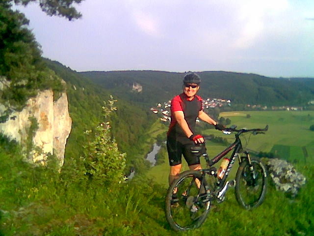
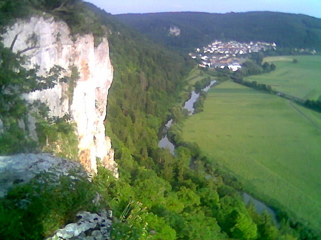
Unsere schönste Tour führt von Unterdigisheim über Obernheim, Reichenbach, Egesheim, Königsheim, Renquishausen, Kolbingen, Kolbinger Höhle, Breiter Fels, Gansnestturm, Bärenthal, Gnadenweiler, Dietstaig, Heidenstadt zurück nach Unterdigisheim. Es ist alles enthalten, was eine solche Tour zum Leckerbissen werden läßt. Meißt Schotter, Wald und Wiesenwege, bis hin zu spektakulären Single Trails. Ganz zu schweigen von den wunderschönen Aussichtspunkten und knackigen Anstiegen! H.S. und M.S. aus Unterdigisheim wünschen vlel Spaß!
Further information at
http://de.wikipedia.org/wiki/Fridingen_an_der_Donaugaléria trás


Mapa trasy a výškový profil
Minimum height 643 m
Maximum height 1039 m
More about the tour author
|
|
HASA1965 |
komentáre

Parken am Rathaus in Unterdigisheim
GPS trasy
Trackpoints-
GPX / Garmin Map Source (gpx) download
-
TCX / Garmin Training Center® (tcx) download
-
CRS / Garmin Training Center® (crs) download
-
Google Earth (kml) download
-
G7ToWin (g7t) download
-
TTQV (trk) download
-
Overlay (ovl) download
-
Fugawi (txt) download
-
Kompass (DAV) Track (tk) download
-
list trasy (pdf) download
-
Original file of the author (gpx) download
More about the tour author
|
|
HASA1965 |
Add to my favorites
Remove from my favorites
Edit tags
Open track
My score
Rate