
")

Diese Tour wurde von den Tourismusverbänden »Unteres Mühlvierte«l zusammen gestellt. Allerdings stimmen die zur Verfügung gestellten GPX-Daten nicht und ich bin daher die Tour nachgefahren und habe sie neu aufgezeichnet.
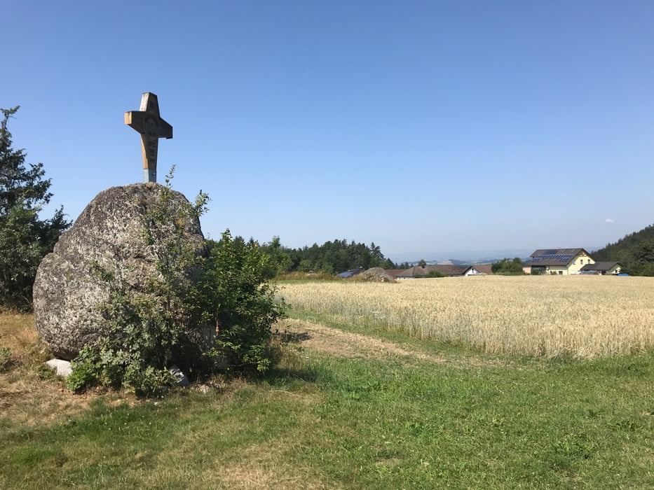
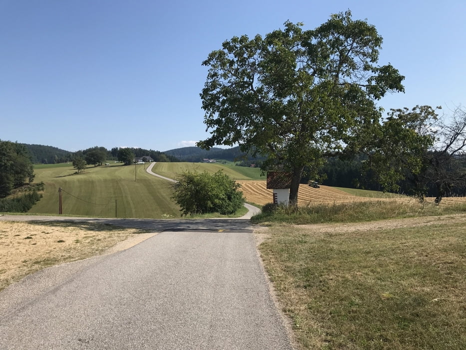
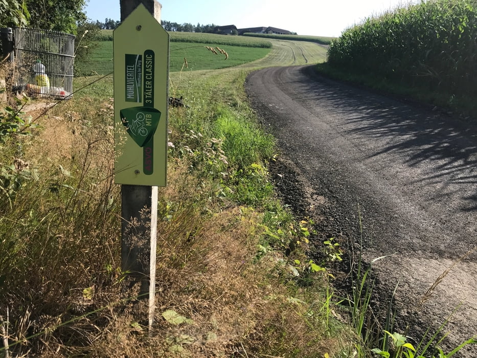
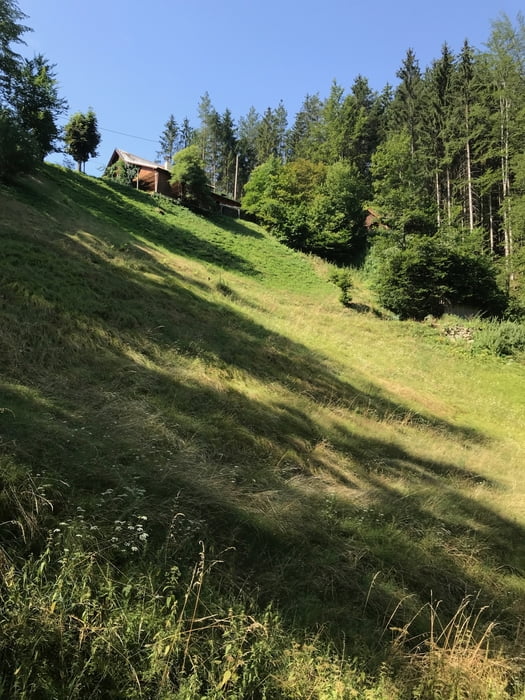
Die Tour ist durchaus reizvoll, da sie sehr abwechlsungsreich ist. Asphaltstraßen und Schotterstraßen wechslen sehr oft mit Waldwegen und sogar Singletrails. Einige Abschnitte, wenn auch nur sehr kurze, sind ziemlich anspruchsvoll (Singletrail S0 und S1). Hier ist fortgeschrittene Fahrtechnik notwendig oder man schiebt ein kurzes Stückchen.
Die zweienhalb Stunden beziehen sich auf ein E-MTB. Mit einem Biobike wird die Tour wohl deutlich länger dauern.
Auf der Route gibt es so gut wie keine Einkehrmöglichkeit! Wasser und evt. Proviant mitnehmen.
galéria trás
Mapa trasy a výškový profil
Minimum height 320 m
Maximum height 691 m
More about the tour author

|
Tirol-Ashley |
komentáre

Von Linz aus fährt man ins Mühlviertel nach Rechberg. Ich bin beim Badesee Rechberg gestartet.
GPS trasy
Trackpoints-
GPX / Garmin Map Source (gpx) download
-
TCX / Garmin Training Center® (tcx) download
-
CRS / Garmin Training Center® (crs) download
-
Google Earth (kml) download
-
G7ToWin (g7t) download
-
TTQV (trk) download
-
Overlay (ovl) download
-
Fugawi (txt) download
-
Kompass (DAV) Track (tk) download
-
list trasy (pdf) download
-
Original file of the author (gpx) download
More about the tour author
|
|
Tirol-Ashley |
Add to my favorites
Remove from my favorites
Edit tags
Open track
My score
Rate