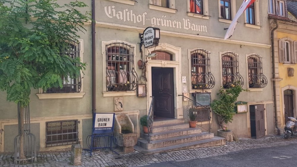
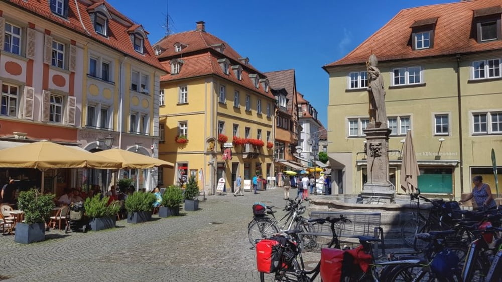
Heute geht es auf ausgewiesenen Fahrradwege durch die Weinberge und am Main entlang bis nach Kizingen. Hier ein Eisstop in der Fußgängerzone und dann auf der anderen Mainseite zurück. Bei Sommerach dann hoch zum Aussichtsturm auf dem Kreuzberg. Über die alte Mainfähre dann zurück zum Ausgangspunkt. #noebike
galéria trás
Mapa trasy a výškový profil
Minimum height 183 m
Maximum height 284 m
komentáre

GPS trasy
Trackpoints-
GPX / Garmin Map Source (gpx) download
-
TCX / Garmin Training Center® (tcx) download
-
CRS / Garmin Training Center® (crs) download
-
Google Earth (kml) download
-
G7ToWin (g7t) download
-
TTQV (trk) download
-
Overlay (ovl) download
-
Fugawi (txt) download
-
Kompass (DAV) Track (tk) download
-
list trasy (pdf) download
-
Original file of the author (gpx) download
Add to my favorites
Remove from my favorites
Edit tags
Open track
My score
Rate


