Login

Zabudli ste prihlasovacia meno

Cookies have to be accepted!
Your browser's cookie functionality is disabled. Please enable this functionality.

Not a member yet?

Register now
Login

Available for registred users only

Log in to use this feature.

Zabudli ste prihlasovacia meno

Cookies have to be accepted!
Your browser's cookie functionality is disabled. Please enable this functionality.

Not a member yet?

Register now
Filter
Kategórie
Advanced filters
  • Dĺžka (km)
  • výškomer
Uložiť filter Reset filter

TrackRank

QRCode

Technical data

Dĺžka33,4 km výškomer449 m Way down452 m Doba00:00 h:m dátum20.07.2019
ohodnotenia Author Kraj pôžitok z túry kondícia technika

štatistika

124 náhľady ohodnotenia 16 Stiahnutia priemer
Rate
  • list trasy
  • príjazd
  • Stiahnutia
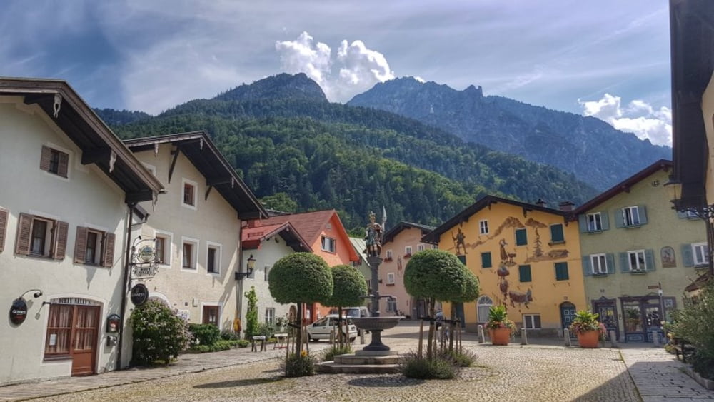
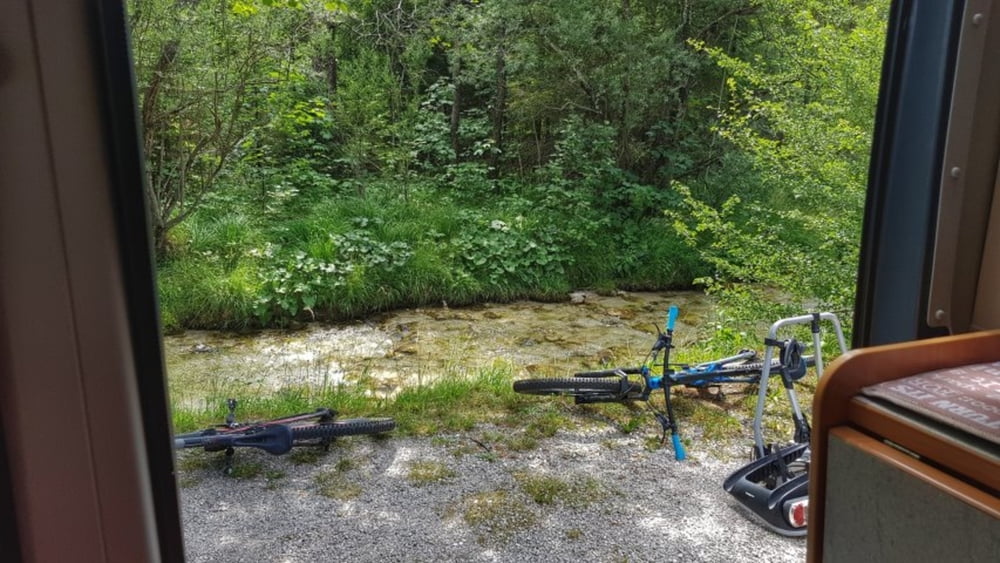
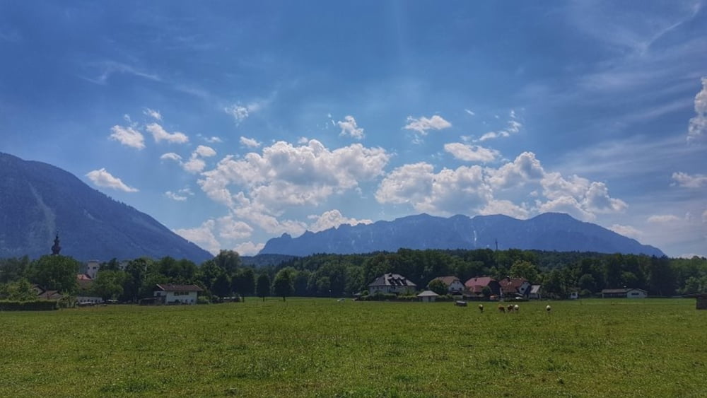
Vom Camping in Winkl geht es über den Fahrradweg hinunter nach Bayerisch Gmain und dann hinüber nach Österreich. Nach dem kleinen Abstecher zu den Nachbarn wieder bei Marzoll über die nicht spürbare Grenze hinunter zur Saalach. An dieser entlang hinein nach Bad Reichenhall. Hier eine Laufstrecke durch die Fußgängerzone. Dann wieder hoch nach Bayerisch Gmain und nach einem Biergartenstop zurück zum Camping. #noebike

galéria trás

Mapa trasy a výškový profil

  • Open Street Map
  • Google
Minimum height 449 m Maximum height 711 m Detailný pohľad

More about the tour author

mh021255
Member since 2009

Send private message

komentáre

GPS trasy

Trackpoints
  • GPX / Garmin Map Source (gpx) download
  • TCX / Garmin Training Center® (tcx) download
  • CRS / Garmin Training Center® (crs) download
  • Google Earth (kml) download
  • G7ToWin (g7t) download
  • TTQV (trk) download
  • Overlay (ovl) download
  • Fugawi (txt) download
  • Kompass (DAV) Track (tk) download
  • list trasy (pdf) download
  • Original file of the author (gpx) download

More about the tour author

mh021255
Member since 2009

Send private message
Share track
Add to my favorites
Remove from my favorites
Edit tags
My score
Rate
trasa: Besichtigung Bad Reichenhall
Druh: cykloturistika
Dĺžka: 33,4 km
Evaluated on:
Doba:
Day(s)
Hour(s)
Minute(s)
ohodnotenie: Kraj pôžitok z túry kondícia technika