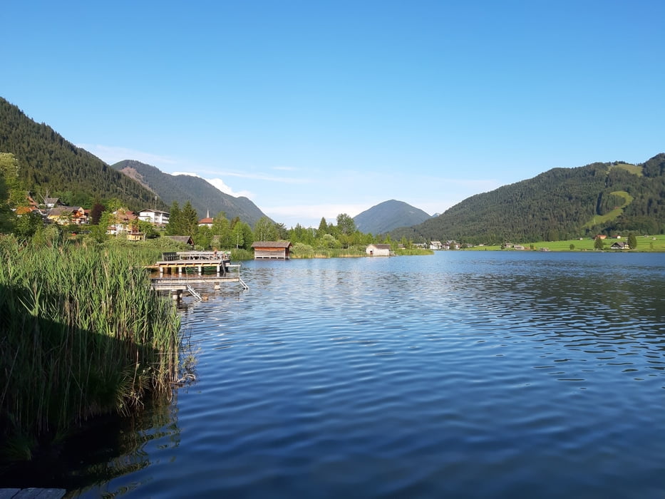
Weißbriach-Kreuzbergsattel-Techendorf-Neusach-
bei Alm hinterm Brunn-Weißensee Ostende-Weißenbach-
Fischeralm-Bodenalm-Paterzipf-Gatschach
Eine reine Genusstour, noch dazu mit Begleitung!
Den alten Weg rauf zum Kreubergsattel, teils grober Schotter, dann kurz auf der Straße, bevor ich rechts Rg Weißensee abbiege. Von Neusach weg die klassische Weißensee-Runde (offiz. MTB Strecke).
Nur die ersten ca 300 hm Rg Alm hinterm Brunn sind steil, sonst sehr gemäßigte Steigungen. Fast durchgehend Schotter. Quartier Haus Georg NF 37€ - sehr gut!Further information at
http://www.hausgeorg.at/galéria trás
Mapa trasy a výškový profil
Minimum height 790 m
Maximum height 1246 m
komentáre

Start in Weißbriach, JUFA.
GPS trasy
Trackpoints-
GPX / Garmin Map Source (gpx) download
-
TCX / Garmin Training Center® (tcx) download
-
CRS / Garmin Training Center® (crs) download
-
Google Earth (kml) download
-
G7ToWin (g7t) download
-
TTQV (trk) download
-
Overlay (ovl) download
-
Fugawi (txt) download
-
Kompass (DAV) Track (tk) download
-
list trasy (pdf) download
-
Original file of the author (gpx) download
Add to my favorites
Remove from my favorites
Edit tags
Open track
My score
Rate


