Login

Zabudli ste prihlasovacia meno

Cookies have to be accepted!
Your browser's cookie functionality is disabled. Please enable this functionality.

Not a member yet?

Register now
Login

Available for registred users only

Log in to use this feature.

Zabudli ste prihlasovacia meno

Cookies have to be accepted!
Your browser's cookie functionality is disabled. Please enable this functionality.

Not a member yet?

Register now
Filter
Kategórie
Advanced filters
  • Dĺžka (km)
  • výškomer
Uložiť filter Reset filter

TrackRank

QRCode

Technical data

Dĺžka12,4 km výškomer481 m Way down982 m Doba04:10 h:m dátum25.08.2019
ohodnotenia Author Kraj pôžitok z túry kondícia technika

štatistika

345 náhľady ohodnotenia 14 Stiahnutia priemer
Rate
  • list trasy
  • príjazd
  • Stiahnutia

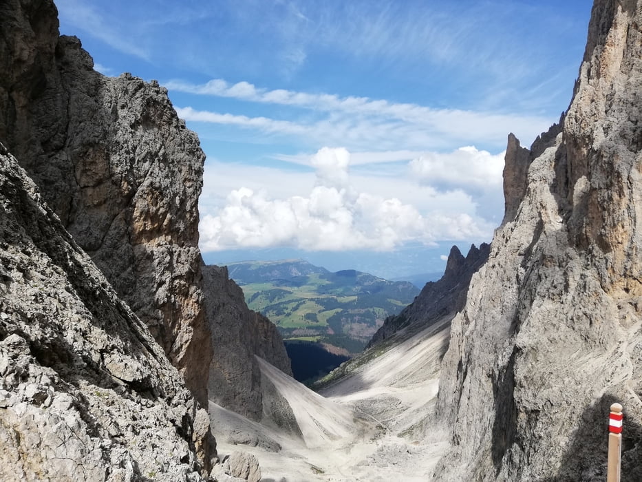
Ottima zona alpina. Condizioni metereologiche pessime, pesante il dislivello in discese un pò troppo rispetto alla salita. Comunque sono sempre le dolomiti.


Further information at

https://www.suedtirol-it.com/dolomiti/sassopiatto.html

galéria trás

Mapa trasy a výškový profil

  • Open Street Map
  • Google
Minimum height 1959 m Maximum height 2678 m Detailný pohľad

More about the tour author

agosflavio
Member since 2013

Send private message

komentáre

GPS trasy

Trackpoints
  • GPX / Garmin Map Source (gpx) download
  • TCX / Garmin Training Center® (tcx) download
  • CRS / Garmin Training Center® (crs) download
  • Google Earth (kml) download
  • G7ToWin (g7t) download
  • TTQV (trk) download
  • Overlay (ovl) download
  • Fugawi (txt) download
  • Kompass (DAV) Track (tk) download
  • list trasy (pdf) download
  • Original file of the author (gpx) download

More about the tour author

agosflavio
Member since 2013

Send private message
Share track
Add to my favorites
Remove from my favorites
Edit tags
My score
Rate
trasa: Escursione sul Sassopiatto-gruppo del Sassolungo-(BZ)
Druh: trasa
Dĺžka: 12,4 km
Evaluated on:
Doba:
Day(s)
Hour(s)
Minute(s)
ohodnotenie: Kraj pôžitok z túry kondícia technika