
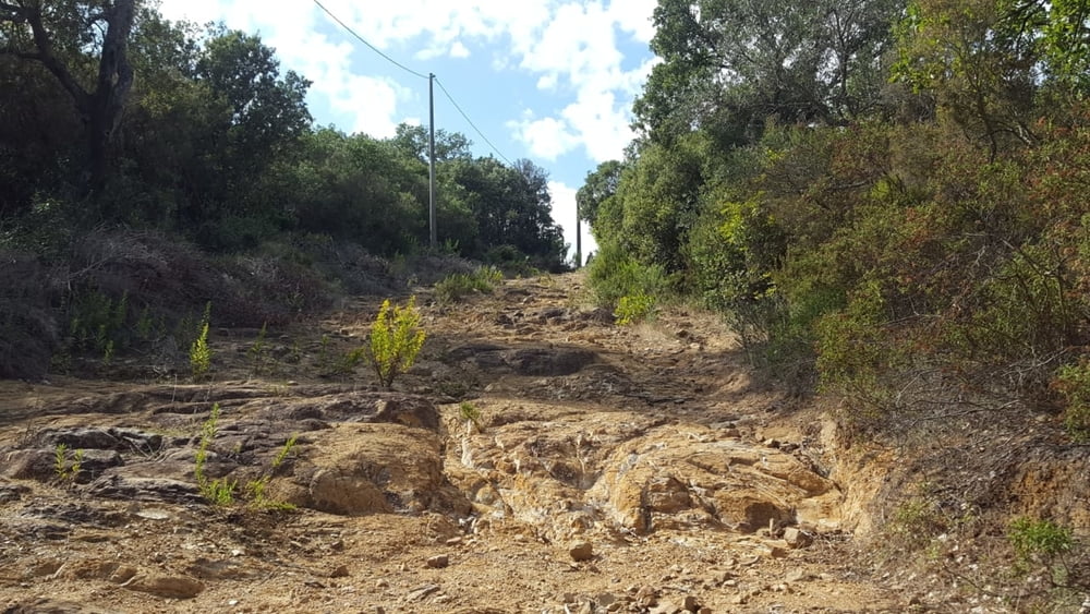

vom Camping Baia Verde auf den I Cavalli und dann rechts runter auf die Strasse nach Pian Alma. Hier weiter bis zu einem Gatter und weiter den Berg hinauf. Eigentlich würde der Weg dann rechts runter gehen, aber hier ist ein dickes Eisentor, das den Weg versperrt. Weiter geradeaus an einem Gehöft vorbei und dann quer über den Acker rechts runter zum Sträßchen. Weiter dann durch die Schranke und den Weg sanft hinauf, durch 2 Bachbette und den Forst/Kiesweg nach Scarlino. Von Scarlino erst auf Asphalt dann einen Wanderweg, der immer schmäler zum Trail wird. Manchmal verblockt und auch ein kurzes Stück über Felsen bergauf (im Turbo gut zu meistern). Der Trail führt immer am Waldrand entlang und kommt auf der Strasse nach Puntone wieder raus. Wir sind dann noch ein kurzes Stück zum Einkaufen gefahren (Obst) und zurück zum Camping.
Further information at
https://www.baiaverde.com/de/galéria trás

Mapa trasy a výškový profil
Minimum height 16 m
Maximum height 453 m
More about the tour author
|
|
Fruehaufsteher |
komentáre

GPS trasy
Trackpoints-
GPX / Garmin Map Source (gpx) download
-
TCX / Garmin Training Center® (tcx) download
-
CRS / Garmin Training Center® (crs) download
-
Google Earth (kml) download
-
G7ToWin (g7t) download
-
TTQV (trk) download
-
Overlay (ovl) download
-
Fugawi (txt) download
-
Kompass (DAV) Track (tk) download
-
list trasy (pdf) download
-
Original file of the author (gpx) download
More about the tour author
|
|
Fruehaufsteher |
Add to my favorites
Remove from my favorites
Edit tags
Open track
My score
Rate