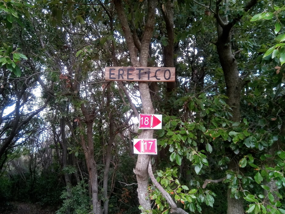
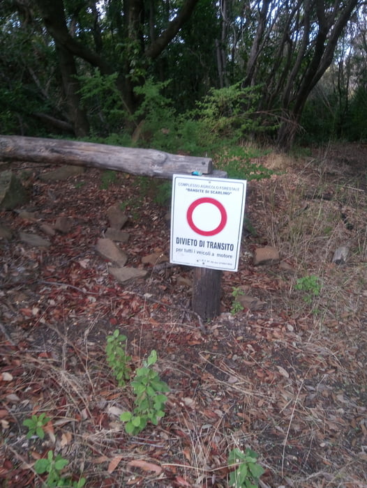
vom Camping Baia Verde Richtung Calaviolina. Auf dem 3er-Weg bis vor ans Meer und kurz vor Puntone rechts den Berg hoch und zur Strasse, die von Puntone nach Punta Ala führt. Diese überqueren und auf schönem Trail weiter. Der Trail führt dann den Berg hinauf und nach einiger Zeit ist dann leider trotz EMTB schieben angesagt. Oben angekommen habe ich gemerkt, dass ich den Ereticotrail hinauf bin. Dann weiter zum Monte Muro. Leider bin ich statt links runter dann geradeaus. Obwohl das ein Wanderweg sein sollte, war es ein "Rockgarden" (S2-S3) von oben bis untern. Ist zwar alles fahrbar, aber Spass hatte ich nicht so richtig. Der Weg kommt dann unten beim Rock On-Trail raus und wir fahren links Richtung Forstweg nach Scarlino. Bei einer Schranke geht es dann links hoch und dann das untere Stück des Tre Dita-Trails wieder runter und zurück zum Camping.
Further information at
https://www.baiaverde.com/de/galéria trás
Mapa trasy a výškový profil
komentáre

GPS trasy
Trackpoints-
GPX / Garmin Map Source (gpx) download
-
TCX / Garmin Training Center® (tcx) download
-
CRS / Garmin Training Center® (crs) download
-
Google Earth (kml) download
-
G7ToWin (g7t) download
-
TTQV (trk) download
-
Overlay (ovl) download
-
Fugawi (txt) download
-
Kompass (DAV) Track (tk) download
-
list trasy (pdf) download
-
Original file of the author (gpx) download


