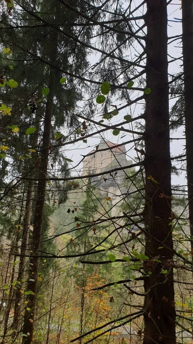
Unterwegs auf dem historischen Panoramaweg im oberen Ailsbachtal. Dieser Weg wurde für den Besuch König Ludwig I. von Bayern und seiner Frau Therese im Jahr 1830 angelegt. Er vermittelt noch heute die romantische Begeisterung für diese einmalige Felsen und Höhlenlandschaft.
galéria trás
Mapa trasy a výškový profil
Minimum height 366 m
Maximum height 428 m
komentáre
Parken am Parkplatz Ludwigshöhle im Ailsbachtal
GPS trasy
Trackpoints-
GPX / Garmin Map Source (gpx) download
-
TCX / Garmin Training Center® (tcx) download
-
CRS / Garmin Training Center® (crs) download
-
Google Earth (kml) download
-
G7ToWin (g7t) download
-
TTQV (trk) download
-
Overlay (ovl) download
-
Fugawi (txt) download
-
Kompass (DAV) Track (tk) download
-
list trasy (pdf) download
-
Original file of the author (gpx) download
Add to my favorites
Remove from my favorites
Edit tags
Open track
My score
Rate


Muss man gemacht haben!