


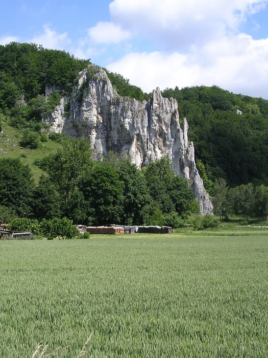
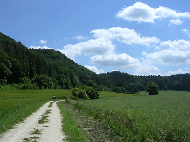
Die Tour führt durch das Altmühltal, über das Urdonautal und das Schuttertal nach Ingolstadt.
Start und Ziel ist jeweils der Hauptbahnhof. Die Rückfahrt mit der DB dauert 50 Minuten.
In Solnhofen ist ein Stop im Biergarten "Alte Schule" eingeplant. Weitere Einkehrmöglichkeiten sind reichlich vorhanden.
Bei schneller Fahrt ist die Strecke in 4 Stunden zu schaffen. Für Genussradler sind 8 Stunden einzuplanen. Ich habe mich größtenteils an den ausgewiesenen Radwegen orientiert. Bis kurz vor Ingolstadt, verläuft die Route auf Wegen ohne PKW-Verkehr.
Viel Spaß!
Further information at
http://www.naturpark-altmuehltal.de/galéria trás

Mapa trasy a výškový profil
Minimum height 358 m
Maximum height 442 m
More about the tour author
|
|
Matze20000 |
komentáre

Der Bahnhof Treuchtlingen ist aus allen Richtungen sehr gut zu erreichen(Bahnknotenpunkt: München - Ingolstadt-Würzburg- Frankfurt / München-Augsburg-Nürnberg-Berlin)
PKW: Bundesstraße 2 Nürnberg - Augsburg
A6 Ausfahrt Ansbach, B13 Gunzenhausen, Staatsstraße 2230
GPS trasy
Trackpoints-
GPX / Garmin Map Source (gpx) download
-
TCX / Garmin Training Center® (tcx) download
-
CRS / Garmin Training Center® (crs) download
-
Google Earth (kml) download
-
G7ToWin (g7t) download
-
TTQV (trk) download
-
Overlay (ovl) download
-
Fugawi (txt) download
-
Kompass (DAV) Track (tk) download
-
list trasy (pdf) download
-
Original file of the author (gpx) download
More about the tour author
|
|
Matze20000 |
Add to my favorites
Remove from my favorites
Edit tags
Open track
My score
Rate