

Zunächst bei stürmischem Wind über die komplett vereiste ca 150 m lange Staumauer. Und dann geht’s steil durch den Wald, der vom Sturm ziemlich zerzaust ist. Schnee wenig.
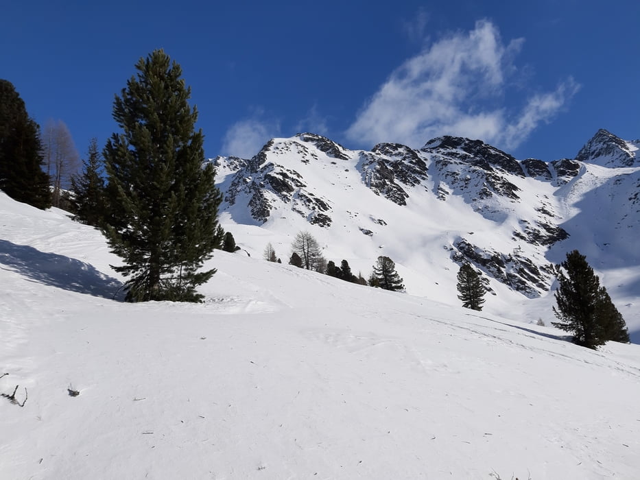
Über der Waldgrenze tauchen wir in die Sonne ein. Da gibt es dann auch einige gute Schwünge. Durch den Wald hinunter ist bei diesen Schneebedingungen ein sehr schwieriges Unterfangen.
P.S. Der track führt NICHT über den Stausee (schlechter Empfang)!!! sondern wie gesagt über die Staumauer.
galéria trás

Mapa trasy a výškový profil
Minimum height 1705 m
Maximum height 2458 m
More about the tour author
|
|
mitter |
komentáre

Start bei der Staudammmauer vom Zufritt Stausee.
GPS trasy
Trackpoints-
GPX / Garmin Map Source (gpx) download
-
TCX / Garmin Training Center® (tcx) download
-
CRS / Garmin Training Center® (crs) download
-
Google Earth (kml) download
-
G7ToWin (g7t) download
-
TTQV (trk) download
-
Overlay (ovl) download
-
Fugawi (txt) download
-
Kompass (DAV) Track (tk) download
-
list trasy (pdf) download
-
Original file of the author (gpx) download
More about the tour author
|
|
mitter |
Add to my favorites
Remove from my favorites
Edit tags
Open track
My score
Rate