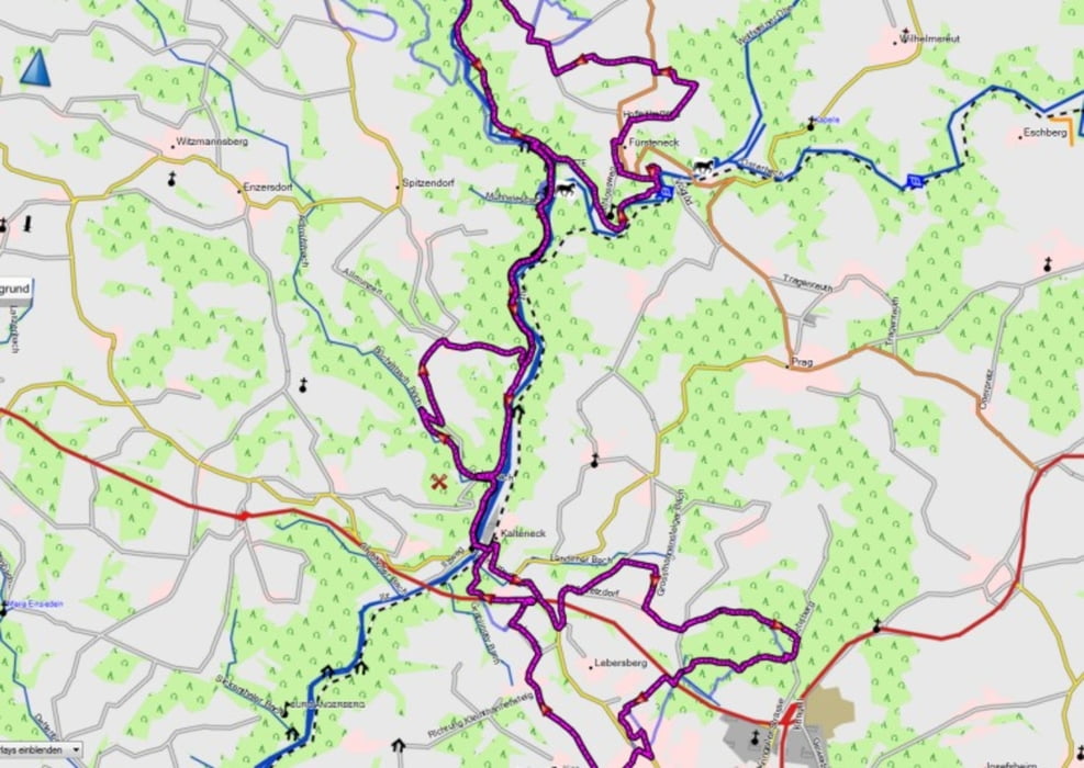
Sehr schöne MTB Tour durch das Ilztal.
Ein steiges auf und ab mit immer wechselnden ausblicken auf das Ilztal.
Teils auf wenig befahrenen Strassen, Feldwegen und ein paar netten Trails.
Nur mit MTB zu fahren.
Einkehrmöglichkeit in der Schrottenbaummühle.
Startpunkt wie so oft in Kalteneck am Bahnhof
Viel Spass mein nachfahren
Mapa trasy a výškový profil
Minimum height 335 m
Maximum height 521 m
komentáre

GPS trasy
Trackpoints-
GPX / Garmin Map Source (gpx) download
-
TCX / Garmin Training Center® (tcx) download
-
CRS / Garmin Training Center® (crs) download
-
Google Earth (kml) download
-
G7ToWin (g7t) download
-
TTQV (trk) download
-
Overlay (ovl) download
-
Fugawi (txt) download
-
Kompass (DAV) Track (tk) download
-
list trasy (pdf) download
-
Original file of the author (gpx) download
Add to my favorites
Remove from my favorites
Edit tags
Open track
My score
Rate

