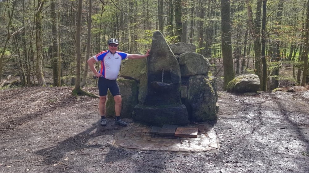
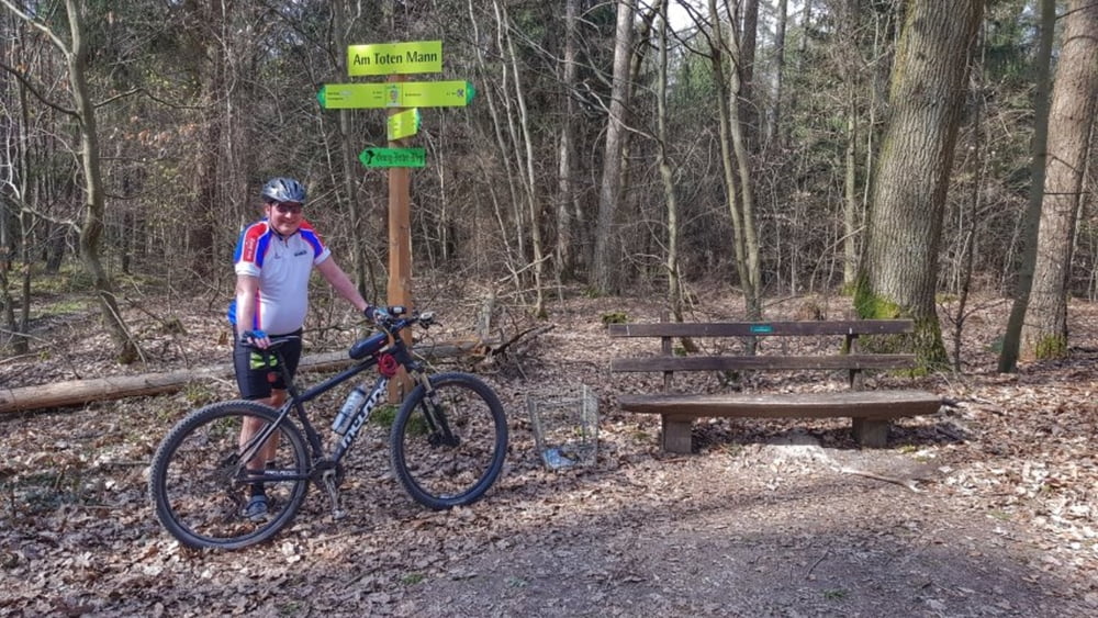
Bei fast sommerlichen Temperaturen heute unterwegs mit Peterle. Über den Mümlingtalradweg erst mal nach Bad König. Von dort zum Gesundheitsbrunnen und weiter zur Wachholderberg-Quelle. Nach einer kurzen Rast geht es weiter in Richtung "Toter Mann". Jetzt auf den Totenmanntrail und die Rimhorner Höhe ist schon in Sicht. Von dort nur noch abwärts über das Georg-Ferst-Heim nach Höchst. #noebike
galéria trás
Mapa trasy a výškový profil
Minimum height 149 m
Maximum height 392 m
komentáre

GPS trasy
Trackpoints-
GPX / Garmin Map Source (gpx) download
-
TCX / Garmin Training Center® (tcx) download
-
CRS / Garmin Training Center® (crs) download
-
Google Earth (kml) download
-
G7ToWin (g7t) download
-
TTQV (trk) download
-
Overlay (ovl) download
-
Fugawi (txt) download
-
Kompass (DAV) Track (tk) download
-
list trasy (pdf) download
-
Original file of the author (gpx) download
Add to my favorites
Remove from my favorites
Edit tags
Open track
My score
Rate


