Login

Zabudli ste prihlasovacia meno

Cookies have to be accepted!
Your browser's cookie functionality is disabled. Please enable this functionality.

Not a member yet?

Register now
Login

Available for registred users only

Log in to use this feature.

Zabudli ste prihlasovacia meno

Cookies have to be accepted!
Your browser's cookie functionality is disabled. Please enable this functionality.

Not a member yet?

Register now
Filter
Kategórie
Advanced filters
  • Dĺžka (km)
  • výškomer
Uložiť filter Reset filter

TrackRank

QRCode

Technical data

Dĺžka20,4 km výškomer951 m Way down797 m Doba00:00 h:m dátum03.09.2019
ohodnotenia Author User Kraj pôžitok z túry kondícia technika

štatistika

102 náhľady ohodnotenia 3 Stiahnutia priemer
Rate
  • list trasy
  • príjazd
  • Stiahnutia

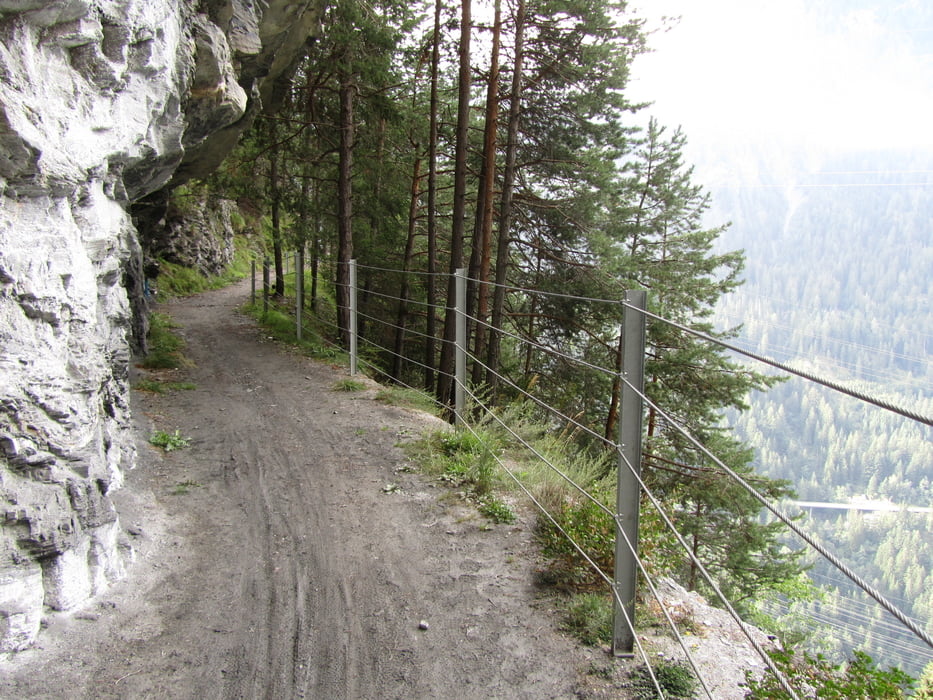
Von Thusis uber Sils auf steilem Bergpfad zum historischen Weg der Via Sett. Auf ihm sind Kaiser, Könige und Händler von Norditalien auf dem kürzest möglichen Weg über die Alpen gezogen. Vorher sind auch schon römische Legionäre im Alpenfeldzug 15 v. Chr. darauf unterwegs gewesen. Stellenweise finden sich noch mittelalterliche oder römische Pflasterungen. Übernachtung nach 20 km in Tiefencastel.


Mapa trasy a výškový profil

  • Open Street Map
  • Google
Minimum height 667 m Maximum height 1212 m Detailný pohľad

More about the tour author

hanspeter50
Member since 2020

Send private message

komentáre

GPS trasy

Trackpoints
  • GPX / Garmin Map Source (gpx) download
  • TCX / Garmin Training Center® (tcx) download
  • CRS / Garmin Training Center® (crs) download
  • Google Earth (kml) download
  • G7ToWin (g7t) download
  • TTQV (trk) download
  • Overlay (ovl) download
  • Fugawi (txt) download
  • Kompass (DAV) Track (tk) download
  • list trasy (pdf) download
  • Original file of the author (gpx) download

More about the tour author

hanspeter50
Member since 2020

Send private message
Share track
Add to my favorites
Remove from my favorites
Edit tags
My score
Rate
trasa: Thusis-Tiefencastel
Druh: trasa
Dĺžka: 20,4 km
Evaluated on:
Doba:
Day(s)
Hour(s)
Minute(s)
ohodnotenie: Kraj pôžitok z túry kondícia technika