
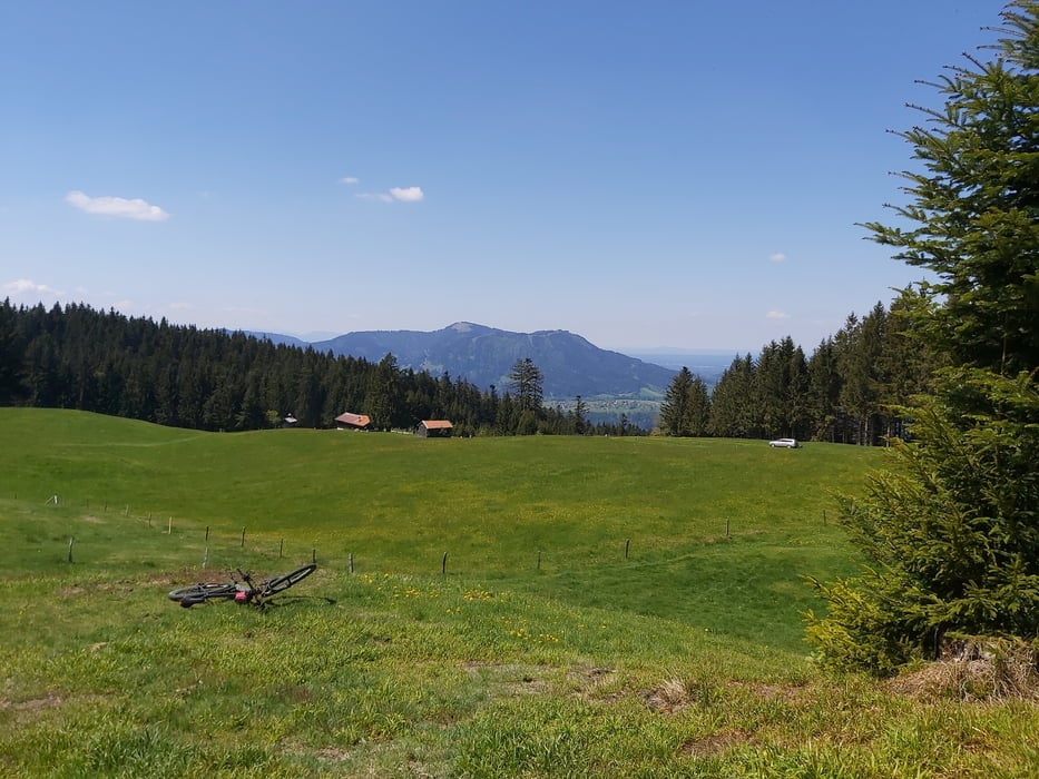

Schöne Nachmittags- oder Feierabendrunde. Auch für durchschnittlich Fitte und Gelegenheitsmountainbiker geeignet. Die größten Steigungen während der ersten 5 Kilometer, zur Schwaigeralm. Danach ein bisschen Trail, ein bisschen Schotterweg. Ganz gemütlich. Bester Rastmöglichkeit bei der Schwaigeralm. (Die Sigritzalm konnten wir nicht erreichen, weil die Wege dorthin wegen Waldarbeiten gesperrt waren. Die kürzere der beiden Routen im gpx-File sind wir gefahren und die war schön. Die längere Route, habe ich auf einer elektronischen Karte abgesteckt.)
Mapa trasy a výškový profil
Minimum height 672 m
Maximum height 1190 m
More about the tour author

|
komentáre

Start beim Wanderparkplatz kurz hinter Lehen (bei Bad Tölz, https://goo.gl/maps/fBpb5DFVjNmdB7uv5). Dann immer dem GPS Track nach.
GPS trasy
Trackpoints-
GPX / Garmin Map Source (gpx) download
-
TCX / Garmin Training Center® (tcx) download
-
CRS / Garmin Training Center® (crs) download
-
Google Earth (kml) download
-
G7ToWin (g7t) download
-
TTQV (trk) download
-
Overlay (ovl) download
-
Fugawi (txt) download
-
Kompass (DAV) Track (tk) download
-
list trasy (pdf) download
-
Original file of the author (gpx) download
More about the tour author
|
|
Add to my favorites
Remove from my favorites
Edit tags
Open track
My score
Rate