Login

Zabudli ste prihlasovacia meno

Cookies have to be accepted!
Your browser's cookie functionality is disabled. Please enable this functionality.

Not a member yet?

Register now
Login

Available for registred users only

Log in to use this feature.

Zabudli ste prihlasovacia meno

Cookies have to be accepted!
Your browser's cookie functionality is disabled. Please enable this functionality.

Not a member yet?

Register now
Filter
Kategórie
Advanced filters
  • Dĺžka (km)
  • výškomer
Uložiť filter Reset filter

TrackRank

QRCode

Technical data

Dĺžka8,9 km výškomer0 m Way down0 m Doba04:00 h:m dátum20.06.2008
ohodnotenia Author Kraj pôžitok z túry kondícia technika

štatistika

2274 náhľady 2 ohodnotenia 451 Stiahnutia 4.00 priemer
Rate
  • list trasy
  • príjazd
  • Stiahnutia
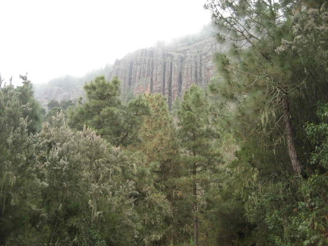
Los Organos Höhenweg im oberen Orotavatal

galéria trás

Mapa trasy a výškový profil

  • Open Street Map
  • Google
Minimum height 99999 m Maximum height -99999 m Detailný pohľad

More about the tour author

msdetroit
Member since 2007

Send private message

komentáre

Shudushi on 02.11.2008

Teilweise gefährliche Abweichungen

ACHTUNG:

Ich habe versucht den Track während meines Aufentahltes auf Teneriffa im Sommer 2008 nach zu gehen. Mußte aber feststellen, dass teilweise erhebliche und gefährliche Abweichungen vom "normalen" Weg vorhanden sind. Diese Abweichungen führen in unwegsames und sehr steiles Gelände. Ich habe darum meinen eigenen GPS-Track hochgeladen. Dieser ist garantiert sicher.
melchior on 11.10.2009

Tolle Wanderung, aber sehr viel länger als angegeben (bei mir 13,6 km) und wie schon vom Vorgänger gesagt teilweise erhebliche Abweichungen. Etwa 2,5 km vor Ende ist kein Weg beim angegebenen Track zu finden, Umwanderung mit Karte über das Wanderwegenetz gut möglich.
Starthöhe bei ~1200 Hm, höchster Punkt bei ~ 1600 Hm und insgesamt einiges an Auf und Ab.
Aber trotzdem lohnenswerte Wanderung, super Landschaft, geniale Aussichtpunkte von Felsnadeln am Wegesrand über das Orotavatal.

GPS trasy

Trackpoints
  • GPX / Garmin Map Source (gpx) download
  • TCX / Garmin Training Center® (tcx) download
  • CRS / Garmin Training Center® (crs) download
  • Google Earth (kml) download
  • G7ToWin (g7t) download
  • TTQV (trk) download
  • Overlay (ovl) download
  • Fugawi (txt) download
  • Kompass (DAV) Track (tk) download
  • list trasy (pdf) download
  • Original file of the author (gpx) download

More about the tour author

msdetroit
Member since 2007

Send private message
Share track
Add to my favorites
Remove from my favorites
Edit tags
My score
Rate
trasa: Los Organos
Druh: trasa
Dĺžka: 8,9 km
Evaluated on:
Doba:
Day(s)
Hour(s)
Minute(s)
ohodnotenie: Kraj pôžitok z túry kondícia technika