
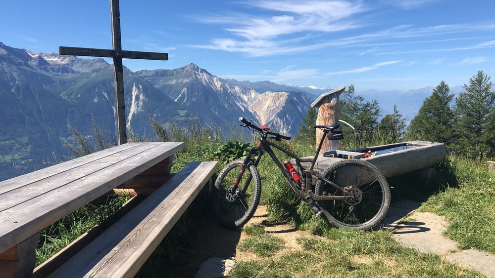

Ich würde sagen eine der schönsten Touren die ich bis jetzt gefahren bin. Die Tour von der Rinderhütte über die Bachalp ins Lötschental bringt flowiger Fahrspass mit unzähligen Singeltrails.
In Leukerbad übernimmt die Gondelbahn zur Rinderhütte den ersten Aufstieg. Gleich hinter der Bergstation beginnt das Singletrail-Feuerwerk. Der immer leicht abfallende Pfad führt hoch über dem Rhônetal via Oberu zur Bachalp, wo der Abfahrtsspass ersteinmal ein Ende nimmt. Zur Niwenalp führt ein relative steiles Waldsträsschen hoch, bis danach ein Singletrail in angenehmer Steigung weiter hoch führt. Oberhalb der Feselalp erreicht man eine Alpstrasse, welcher man via Stafelalp bis zum Heruhubel folgt.Die Abfahrt führt zur Oberen Meiggu-Alp, schlängelt sich dann durch den Wald bergab, vorbei an der Unteren Meiggu-Alp und schliesslich als immer leicht abfallender Höhenweg durch enorm steiles Gelände bis nach Jeizinen. Im Nachbarsdorf Engerssch zweigt man links ab auf den Trail nach Erschmatt. Auf Bergsträsschen gelangt man über Feschel nach Albinen und weiter bis nach Leukerbad.
galéria trás


Mapa trasy a výškový profil
Minimum height 1340 m
Maximum height 2309 m
More about the tour author

|
thobaanti |
komentáre

GPS trasy
Trackpoints-
GPX / Garmin Map Source (gpx) download
-
TCX / Garmin Training Center® (tcx) download
-
CRS / Garmin Training Center® (crs) download
-
Google Earth (kml) download
-
G7ToWin (g7t) download
-
TTQV (trk) download
-
Overlay (ovl) download
-
Fugawi (txt) download
-
Kompass (DAV) Track (tk) download
-
list trasy (pdf) download
-
Original file of the author (gpx) download
More about the tour author
|
|
thobaanti |
Add to my favorites
Remove from my favorites
Edit tags
Open track
My score
Rate