Login

Zabudli ste prihlasovacia meno

Cookies have to be accepted!
Your browser's cookie functionality is disabled. Please enable this functionality.

Not a member yet?

Register now
Login

Available for registred users only

Log in to use this feature.

Zabudli ste prihlasovacia meno

Cookies have to be accepted!
Your browser's cookie functionality is disabled. Please enable this functionality.

Not a member yet?

Register now
Filter
Kategórie
Advanced filters
  • Dĺžka (km)
  • výškomer
Uložiť filter Reset filter

TrackRank

QRCode

Technical data

Dĺžka59,4 km výškomer1536 m Way down1597 m Doba04:30 h:m dátum16.08.2020
ohodnotenia Author Kraj pôžitok z túry kondícia technika

štatistika

496 náhľady ohodnotenia 19 Stiahnutia priemer
Rate
  • list trasy
  • príjazd
  • Stiahnutia

6. Eisenerz-Admont

Eisenerz-Radmer Hals-Radmer an der Stube-Radmer an der Hasel-

Neuburgsattel-Kölblwirt-Johnsbach-Weng-Admont

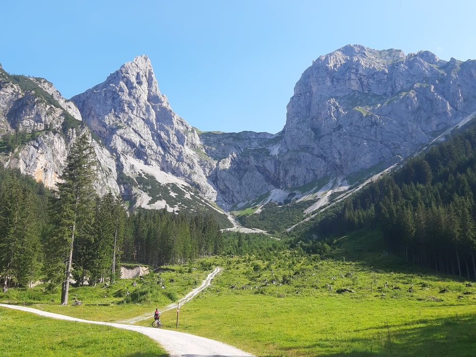
Auffahrt zum Radmer Hals in angenehmer Steigung und bei zunehmend prächtigen Wetter in der fantastischen Gesäuse-Kulisse!

Runter nach Admont geht’s dann vorsichtig gegen die Einbahn. In Radmer im kleinen Supermarkt wieder mit Maske Proviant aufgefüllt. 

Dann geht’s leicht steigend die Straße Rg Neuburgsattel entlang.. Die letzten 400 hm gibt es auf der Forstautobahn angeblich ein striktes Radfahrverbot. 

Inzwischen ist das erwartete Gewitter aufgezogen und es waschelt uns ordentlich ein. Hinunter gibt es wieder eine off. MTB Strecke, zunächst auf Schotter, später Asphalt.

Den Schlenker auf die Mödlinger Hütte haben wir uns aufgrund des Schlechtwetters erspart Quartier: Admonter Hof, gut und freundlich.

Further information at

http://members.aon.at/kwagne23/

galéria trás

Mapa trasy a výškový profil

  • Open Street Map
  • Google
Minimum height 580 m Maximum height 1418 m Detailný pohľad

More about the tour author

mitter
Member since 2008

Send private message

komentáre

Start in Eisenerz bei Privatzimmer Moser, Fleischerei.

GPS trasy

Trackpoints
  • GPX / Garmin Map Source (gpx) download
  • TCX / Garmin Training Center® (tcx) download
  • CRS / Garmin Training Center® (crs) download
  • Google Earth (kml) download
  • G7ToWin (g7t) download
  • TTQV (trk) download
  • Overlay (ovl) download
  • Fugawi (txt) download
  • Kompass (DAV) Track (tk) download
  • list trasy (pdf) download
  • Original file of the author (gpx) download

More about the tour author

mitter
Member since 2008

Send private message
Share track
Add to my favorites
Remove from my favorites
Edit tags
My score
Rate
trasa: Eisenerz-Admont 200724 (6. L2L 2020)
Druh: horský bicykel
Dĺžka: 59,4 km
Evaluated on:
Doba:
Day(s)
Hour(s)
Minute(s)
ohodnotenie: Kraj pôžitok z túry kondícia technika