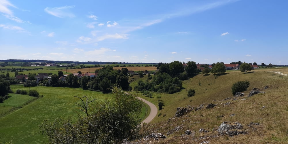
Diese Wanderung ist aus dem kostenlosen Wanderführer vom Ferienland DONAU-Ries. Die Wanderung ist neu und gut ausgeschildert und man kann sich fast nicht verlaufen. Mir hat die hügelige Landschaft und die seit Jahrhunderten durch Schafe geformte Magerwiesen sehr gut gefallen.
Weiter Informationen findet man hier: https://www.ferienland-donau-ries.de/wege/huegelwanderung_im_kesseltal-2218/
galéria trás
Mapa trasy a výškový profil
Minimum height 456 m
Maximum height 582 m
komentáre

Parkplatz an der Kreisstraße DLG5. Die Höchstädter Straße in Bissingen wird dann zur DLG5.
GPS trasy
Trackpoints-
GPX / Garmin Map Source (gpx) download
-
TCX / Garmin Training Center® (tcx) download
-
CRS / Garmin Training Center® (crs) download
-
Google Earth (kml) download
-
G7ToWin (g7t) download
-
TTQV (trk) download
-
Overlay (ovl) download
-
Fugawi (txt) download
-
Kompass (DAV) Track (tk) download
-
list trasy (pdf) download
-
Original file of the author (gpx) download
Add to my favorites
Remove from my favorites
Edit tags
Open track
My score
Rate


