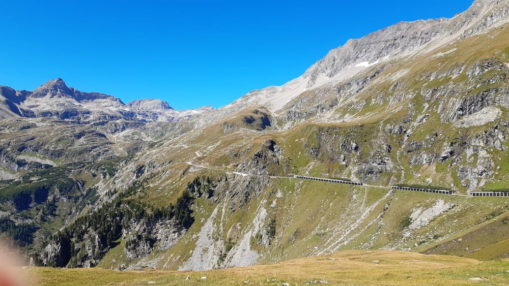
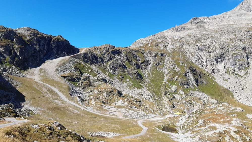
Start der Tour in Flattach am Campingplatz Raggaschlucht.
Auffahrt auf Öffentlicher Straße bis zur Talstation Mölltaler Gletscherbahn.
Ab dort geht es in Serpentinen hinauf über die Baumgrenze bis zur Bergstation Mölltaler Gletscherbahn.
Vorbei an 2 Speicherseen geht es weiter über die Schipiste, zugleich Wanderweg, bis zum Eissee.
Abfahrt auf gleicher Strecke.
Speicher Oscheniksee wurde uns dann doch zu weit daher Abfahrt ins Tal.
galéria trás
Mapa trasy a výškový profil
Minimum height 696 m
Maximum height 2777 m
komentáre

Flattach
GPS trasy
Trackpoints-
GPX / Garmin Map Source (gpx) download
-
TCX / Garmin Training Center® (tcx) download
-
CRS / Garmin Training Center® (crs) download
-
Google Earth (kml) download
-
G7ToWin (g7t) download
-
TTQV (trk) download
-
Overlay (ovl) download
-
Fugawi (txt) download
-
Kompass (DAV) Track (tk) download
-
list trasy (pdf) download
-
Original file of the author (gpx) download
Add to my favorites
Remove from my favorites
Edit tags
Open track
My score
Rate


