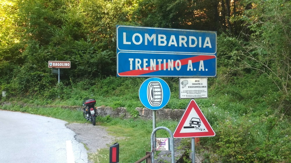
Die Strecke geht ausschließlich über Asphalt, ist aber wenig befahren.
In Bagolino gibt es Gelegenheit zum Einkehren. Wenn man will kann man noch weiterfahren. Ich hatte leider keine Zeit mehr.
Eine Besonderheit ist, dass man drei Provinzgrenzen überquert: Brescia, Trentino, Lombardei.
Mapa trasy a výškový profil
Minimum height 374 m
Maximum height 881 m
komentáre

GPS trasy
Trackpoints-
GPX / Garmin Map Source (gpx) download
-
TCX / Garmin Training Center® (tcx) download
-
CRS / Garmin Training Center® (crs) download
-
Google Earth (kml) download
-
G7ToWin (g7t) download
-
TTQV (trk) download
-
Overlay (ovl) download
-
Fugawi (txt) download
-
Kompass (DAV) Track (tk) download
-
list trasy (pdf) download
-
Original file of the author (gpx) download
Add to my favorites
Remove from my favorites
Edit tags
Open track
My score
Rate

