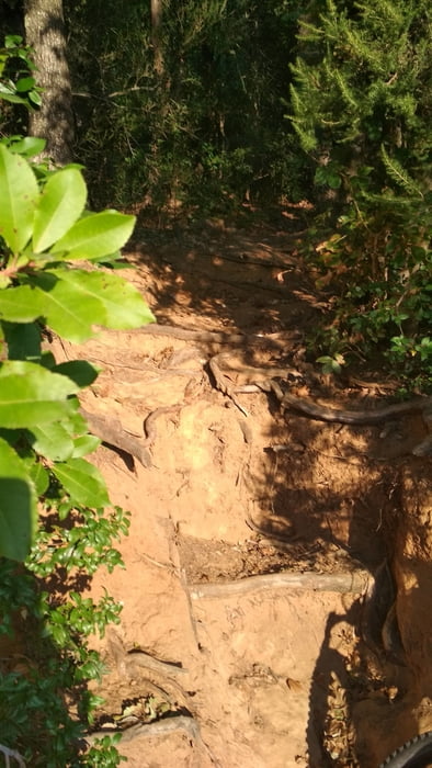
Eine weitere Variante der Trails auf Punta Ala. Größtenteils gut fahrbar. Leider ist ein Stück drin, das ziemlich durch's Dickicht geht. Da musste ich absteigen, nicht weil es zu steil war oder zu unwegig, das Gestrüp war einfach zu dicht. Das sind aber nur 500m.
galéria trás
Mapa trasy a výškový profil
Minimum height 11 m
Maximum height 215 m
komentáre

GPS trasy
Trackpoints-
GPX / Garmin Map Source (gpx) download
-
TCX / Garmin Training Center® (tcx) download
-
CRS / Garmin Training Center® (crs) download
-
Google Earth (kml) download
-
G7ToWin (g7t) download
-
TTQV (trk) download
-
Overlay (ovl) download
-
Fugawi (txt) download
-
Kompass (DAV) Track (tk) download
-
list trasy (pdf) download
-
Original file of the author (gpx) download
Add to my favorites
Remove from my favorites
Edit tags
Open track
My score
Rate


