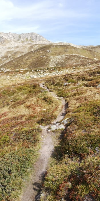
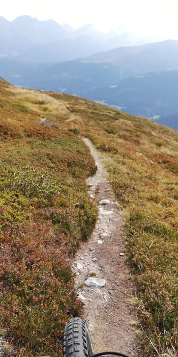
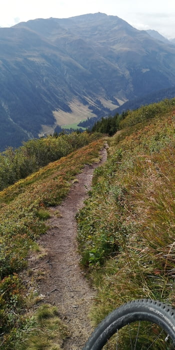
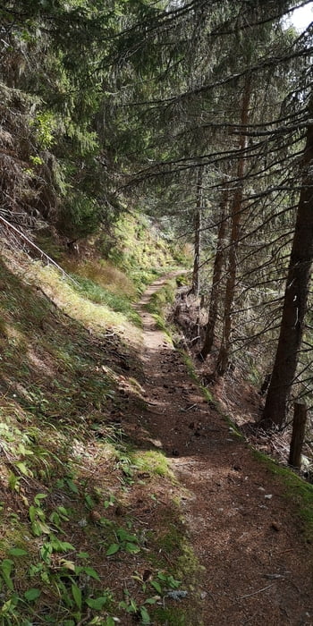
Diese Tour wollte ich schon lange mal machen. Es geht mehrheitlich den gleichen Weg hoch wie danach Runter, aber das macht in dem Fall nichts, er ist hoch mehrheitlich Fahrbar, runter dafür mehrheitlich schön Flowing.
galéria trás
Mapa trasy a výškový profil
Minimum height 1408 m
Maximum height 2211 m
komentáre

GPS trasy
Trackpoints-
GPX / Garmin Map Source (gpx) download
-
TCX / Garmin Training Center® (tcx) download
-
CRS / Garmin Training Center® (crs) download
-
Google Earth (kml) download
-
G7ToWin (g7t) download
-
TTQV (trk) download
-
Overlay (ovl) download
-
Fugawi (txt) download
-
Kompass (DAV) Track (tk) download
-
list trasy (pdf) download
-
Original file of the author (gpx) download
Add to my favorites
Remove from my favorites
Edit tags
Open track
My score
Rate


