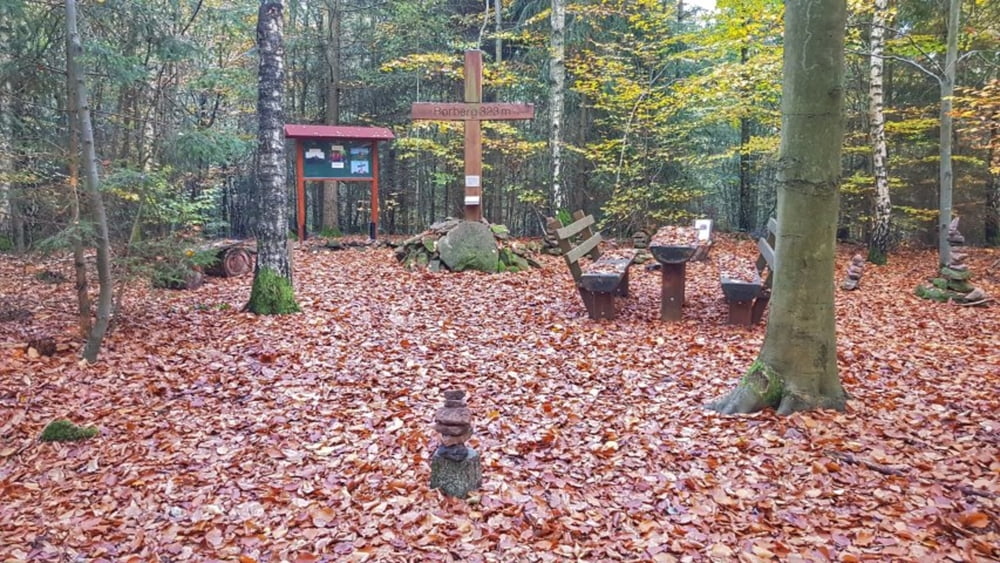
Nach der Gartenarbeit am Mittag noch schnell auf das Bike. Ein paar Meter auf dem Mümlingtalradweg, dann über Mümling-Grumbach nach Etzen-Gesäß und hinauf zum Hardtberg. Diesen diesmal umrundet und dann über den Beinegraben runter zur Obrunnschlucht. Diese wurde nur gequert und dann hoch zur Rimhorner Höhe. Nun rüber zum Dammberg, vorbei am Breubergblick hoch zum Bohrberg. Nun noch über die schöne Abfahrt hinunter zum Georg-Ferst-Heim und ab nach Hause.
galéria trás
Mapa trasy a výškový profil
Minimum height 156 m
Maximum height 370 m
komentáre

GPS trasy
Trackpoints-
GPX / Garmin Map Source (gpx) download
-
TCX / Garmin Training Center® (tcx) download
-
CRS / Garmin Training Center® (crs) download
-
Google Earth (kml) download
-
G7ToWin (g7t) download
-
TTQV (trk) download
-
Overlay (ovl) download
-
Fugawi (txt) download
-
Kompass (DAV) Track (tk) download
-
list trasy (pdf) download
-
Original file of the author (gpx) download
Add to my favorites
Remove from my favorites
Edit tags
Open track
My score
Rate


