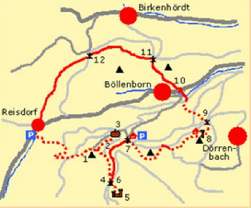
Nach Bad-Bergzabern ehts hoch in den pfälzer Wald.
Schöne Strecker im Wald mit einigen Steigungen.
Beliebt bei Rennrad-Fahrern
Further information at
https://de.wikipedia.org/wiki/Reisdorf_(B%C3%B6llenborn)Mapa trasy a výškový profil
Minimum height 31 m
Maximum height 234 m
komentáre

Bad-Bergzabern Richtung Dahn.
Dann nach Bad Bergzabern links hoch nach Reisdorf.
Wegen Corona kann man Momentan leider nicht über das Elsaß zurück fahren.
GPS trasy
Trackpoints-
GPX / Garmin Map Source (gpx) download
-
TCX / Garmin Training Center® (tcx) download
-
CRS / Garmin Training Center® (crs) download
-
Google Earth (kml) download
-
G7ToWin (g7t) download
-
TTQV (trk) download
-
Overlay (ovl) download
-
Fugawi (txt) download
-
Kompass (DAV) Track (tk) download
-
list trasy (pdf) download
-
Original file of the author (gpx) download
Add to my favorites
Remove from my favorites
Edit tags
Open track
My score
Rate

