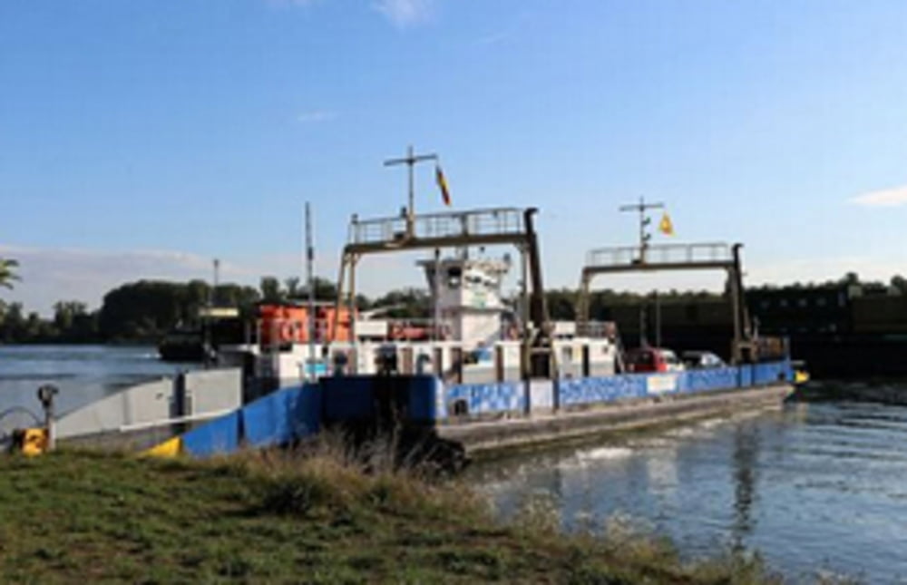
Schöne Tour am Rhein entlang oder durch den Pfälzer Wald oder beides :-)
Fahre in Leimersheim kann genutzt werden um ins badische Hochstetten zu gelangen. Hier könnte man bis Neubugweier fahren und nach Neuburg/Pfalz wieder rüber setzen :-)
Further information at
https://www.rheinfaehre-leimersheim.de/Mapa trasy a výškový profil
Minimum height 97 m
Maximum height 161 m
komentáre

Kandel -> Leimersheim (Richtung Germersheim)
GPS trasy
Trackpoints-
GPX / Garmin Map Source (gpx) download
-
TCX / Garmin Training Center® (tcx) download
-
CRS / Garmin Training Center® (crs) download
-
Google Earth (kml) download
-
G7ToWin (g7t) download
-
TTQV (trk) download
-
Overlay (ovl) download
-
Fugawi (txt) download
-
Kompass (DAV) Track (tk) download
-
list trasy (pdf) download
-
Original file of the author (gpx) download
Add to my favorites
Remove from my favorites
Edit tags
Open track
My score
Rate

