Login

Zabudli ste prihlasovacia meno

Cookies have to be accepted!
Your browser's cookie functionality is disabled. Please enable this functionality.

Not a member yet?

Register now
Login

Available for registred users only

Log in to use this feature.

Zabudli ste prihlasovacia meno

Cookies have to be accepted!
Your browser's cookie functionality is disabled. Please enable this functionality.

Not a member yet?

Register now
Filter
Kategórie
Advanced filters
  • Dĺžka (km)
  • výškomer
Uložiť filter Reset filter

TrackRank

QRCode

Technical data

Dĺžka11,5 km výškomer312 m Way down299 m Doba03:00 h:m dátum21.11.2020
ohodnotenia Author Kraj pôžitok z túry kondícia technika

štatistika

355 náhľady ohodnotenia 11 Stiahnutia priemer
Rate
  • list trasy
  • príjazd
  • Stiahnutia
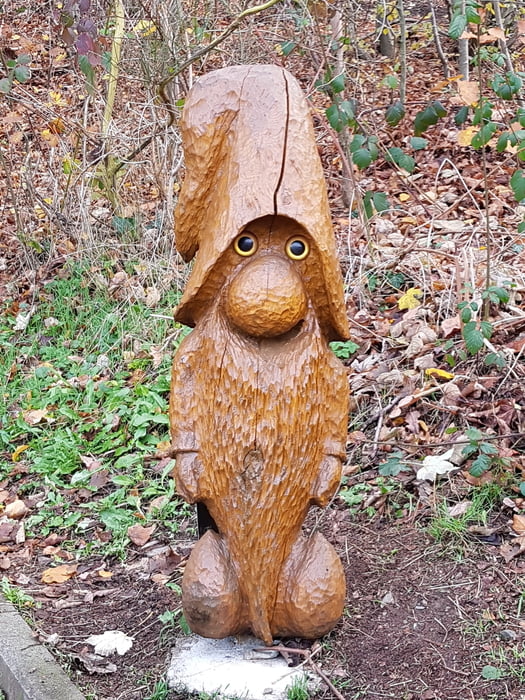
Wanderung um Schmitten herum. Auf dem Weg gibt es zahlreiche Wichtel-Figuren von Pentti Lepistö. Leichte bis Mittelschwere Wanderung mit Schönen Aussichten auf Schmitten und Taunus.

galéria trás

Mapa trasy a výškový profil

  • Open Street Map
  • Google
Minimum height 221 m Maximum height 341 m Detailný pohľad

More about the tour author

jerzy_z
Member since 2009

Send private message

komentáre

GPS trasy

Trackpoints
  • GPX / Garmin Map Source (gpx) download
  • TCX / Garmin Training Center® (tcx) download
  • CRS / Garmin Training Center® (crs) download
  • Google Earth (kml) download
  • G7ToWin (g7t) download
  • TTQV (trk) download
  • Overlay (ovl) download
  • Fugawi (txt) download
  • Kompass (DAV) Track (tk) download
  • list trasy (pdf) download
  • Original file of the author (gpx) download

More about the tour author

jerzy_z
Member since 2009

Send private message
Share track
Add to my favorites
Remove from my favorites
Edit tags
My score
Rate
trasa: Taunus Wichtel Weg
Druh: trasa
Dĺžka: 11,5 km
Evaluated on:
Doba:
Day(s)
Hour(s)
Minute(s)
ohodnotenie: Kraj pôžitok z túry kondícia technika