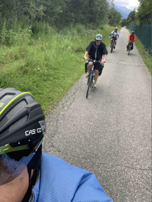
Die zweite Etappa war eher puristisch, viel Staub und wenig Gegend etc.
Mapa trasy a výškový profil
Minimum height 538 m
Maximum height 636 m
komentáre

Wir haben zwischen Etappe eins und zwei genächtigt, hatten also keine Anreise.
Ansonsten ist es recht einfach nach Lienz zu kommen, egal ob mit Auto oder Bahn.
GPS trasy
Trackpoints-
GPX / Garmin Map Source (gpx) download
-
TCX / Garmin Training Center® (tcx) download
-
CRS / Garmin Training Center® (crs) download
-
Google Earth (kml) download
-
G7ToWin (g7t) download
-
TTQV (trk) download
-
Overlay (ovl) download
-
Fugawi (txt) download
-
Kompass (DAV) Track (tk) download
-
list trasy (pdf) download
-
Original file of the author (gpx) download
Add to my favorites
Remove from my favorites
Edit tags
Open track
My score
Rate

