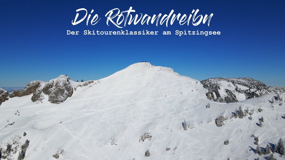
Die Rotwandreibn ist sicher kein Geheimtipp, stand aber schon länger auf unserer ToDo-Liste. Obwohl wir an einem Freitag bei -15 Grad unterwegs waren, herrschte reger Betrieb - also besser Samstag oder Sonntag meiden. Start und Ziel ist an der Taubensteinbahn Talstation am Spitzingsee. Geht man die Route ohne jeglichen Gipfelanstieg sind gut 900 Höhenmeter zu bewältigen. Je nach Kondition kann man den Rotwand-Gipfel, den Auerspitz, den Hochmiesing (bei uns zu wenig Schnee) und/oder den Taubenstein in die Runde einbauen. Auch ein Abstecher zum Aiplspitz wäre möglich. So können bis zu 1600 Höhenmeter zusammenkommen. Wir stiegen auf Rotwand, Auerspitz und Taubenstein und kamen auf ca. 17 Kilometer und 1380 Höhenmeter. Dafür muss des Öfteren auf- und wieder abgefellt werden. Aber diese abwechslungsreiche Runde ist es allemal wert.
Film zur Tour gibt es auf meinem Youtube-Kanal: mountain mane / Playlist: Skitouren Alpen
(1) Rotwandreibn - Der Skitourenklassiker am Spitzingsee | inkl. Auerspitz & Taubenstein - YouTube
Film zur Tour gibt es auf meinem Youtube-Kanal: mountain mane / Playlist: Skitouren Alpen
(1) Rotwandreibn - Der Skitourenklassiker am Spitzingsee | inkl. Auerspitz & Taubenstein - YouTube
galéria trás
Mapa trasy a výškový profil
Minimum height 1071 m
Maximum height 1882 m
komentáre

GPS trasy
Trackpoints-
GPX / Garmin Map Source (gpx) download
-
TCX / Garmin Training Center® (tcx) download
-
CRS / Garmin Training Center® (crs) download
-
Google Earth (kml) download
-
G7ToWin (g7t) download
-
TTQV (trk) download
-
Overlay (ovl) download
-
Fugawi (txt) download
-
Kompass (DAV) Track (tk) download
-
list trasy (pdf) download
-
Original file of the author (gpx) download
Add to my favorites
Remove from my favorites
Edit tags
Open track
My score
Rate


