Zischka Steig (1-)
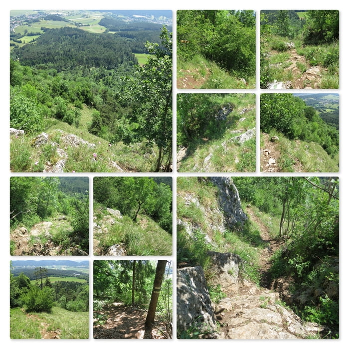
Links vom Gipfelkreuz (gut markiert mit einer Tafel) beginnt der Zischkasteig. Der Steig windet sich den Felsen steil nach unten und es gibt einige wenige Stellen wo ich klettern muss. Bald komme ich in den Wald und auf eine Forststraße.
Further information at
http://www.volki.at/berge/hw/hw.shtmlMapa trasy a výškový profil
Minimum height 673 m
Maximum height 819 m
komentáre

Parkplatz am Sportplatz in Dreistätten, an den Koordinaten: N47° 51' 18.1" E16° 05' 58.6"
GPS trasy
Trackpoints-
GPX / Garmin Map Source (gpx) download
-
TCX / Garmin Training Center® (tcx) download
-
CRS / Garmin Training Center® (crs) download
-
Google Earth (kml) download
-
G7ToWin (g7t) download
-
TTQV (trk) download
-
Overlay (ovl) download
-
Fugawi (txt) download
-
Kompass (DAV) Track (tk) download
-
list trasy (pdf) download
-
Original file of the author (gpx) download
Add to my favorites
Remove from my favorites
Edit tags
Open track
My score
Rate

