Wanderung zum Friedhof Mülheim
Als der städtische Friedhof 1904 eröffnet wurde, war das Auto noch ein Wunderding, ein Repräsentationsstück für Vermögende und sportlich erscheinen wollende Dandys. Da gab es keinen Verkehr zu berücksichtigen. Also war nicht entsprechend zu planen. Wie die meisten Friedhöfe in Köln ist auch dieser Friedhof parkartig angelegt und dank seiner Gründung vor fast 120 Jahren auch attraktiv mit alten Bäumen bestellt: Beim Eingangsportal stehen zwei mächtige Trauerbuchen, gefolgt von einer 200 m langen Allee aus Platanen und Lebensbäumen.
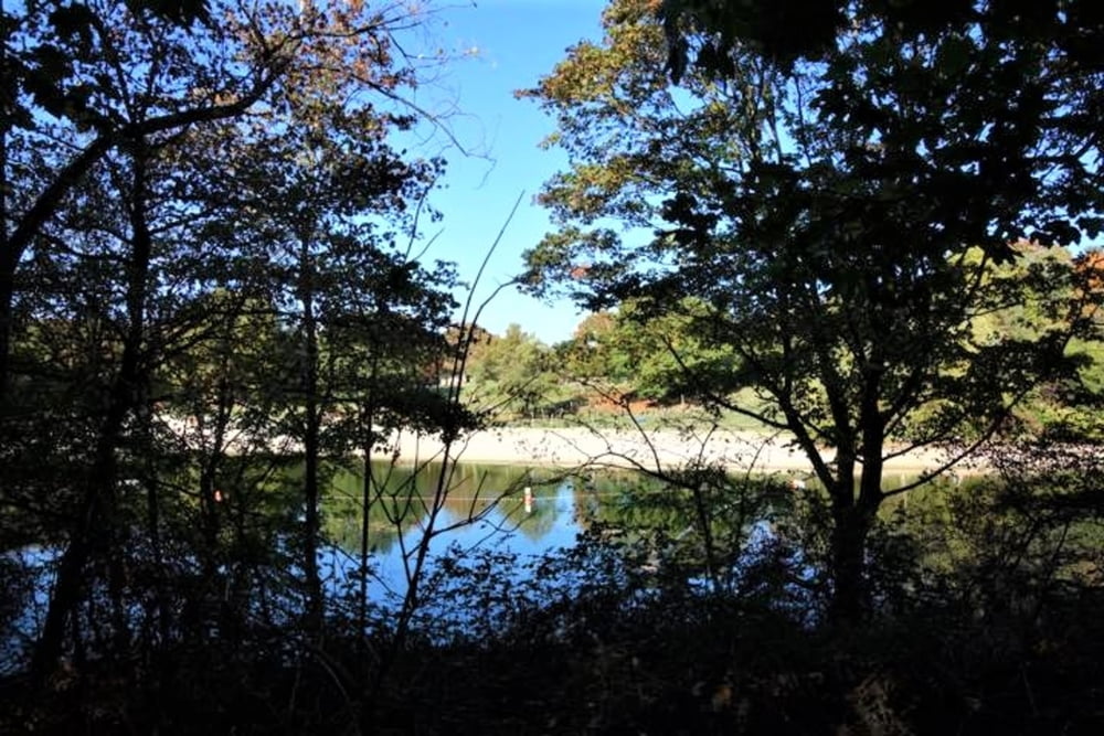
Die Wanderung beginnt in Ostheim am Rande der Waldbadsiedlung, führt vorbei am Naturfreibad Vingst und führt zum Schluss durch die Merheimer Heide mit Ende der Route bei der Herler Burg.
Streckenlänge: ca. 8 km, von Buchheim zum Friedhof ca. 4 km, von Ostheim zum Friedhof ca. 4 km
galéria trás
Mapa trasy a výškový profil
komentáre

Start: Hst. Hans-Offermann-Str. von Bus 191
Zwischenziel: Hst. Mülheimer Friedhof der Busse 159, 195
Ziel: Hst. Buchheim Herler Str. von KVB-Linien 3, 13, 18 und der Busse 151, 152, 153
GPS trasy
Trackpoints-
GPX / Garmin Map Source (gpx) download
-
TCX / Garmin Training Center® (tcx) download
-
CRS / Garmin Training Center® (crs) download
-
Google Earth (kml) download
-
G7ToWin (g7t) download
-
TTQV (trk) download
-
Overlay (ovl) download
-
Fugawi (txt) download
-
Kompass (DAV) Track (tk) download
-
list trasy (pdf) download
-
Original file of the author (gpx) download


